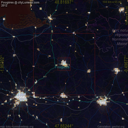
Fougères night lights from space
Night Light of Fougères (Brittany) from space (France) Src. Average luminocity for 10x10km area is 19.2855% and for 50x50km: 1.761%.
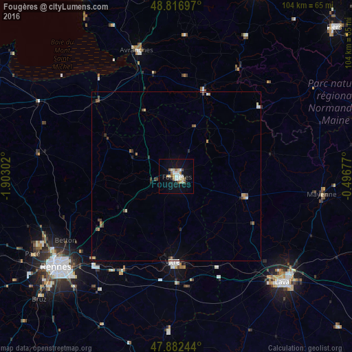
Analysis of Fougères night lights 2016
Square area 10x10 km:
 2.41%
2.41%90-99
5.54%80-89
1.7%70-79
1.85%60-69
2.7%50-59
2.27%40-49
0.57%30-39
0%20-29
0.28%10-19
19.18%0-9
63.49%Square area 50x50 km:
0.18%90-99
0.31%80-89
0.17%70-79
0.24%60-69
0.23%50-59
0.19%40-49
0.34%30-39
0.12%20-29
0.19%10-19
0.92%0-9
97.1%Clear (daylight) street map image can be seen on geolist.org.
Map coordinates:
48° 49' 1.1" North, 1° 54' 10.9" West
48° 21' 6.7" North, 1° 11' 59.6" West
47° 52' 56.8" North, 0° 29' 48.4" West
Some cities around Fougères sort by population:
• Vitré
26 km =16.2 mi,  180°
180°
• Betton
37.6 km =23.4 mi,  239°
239°
• Avranches
38.7 km =24 mi,  342°
342°
• Liffré
27.5 km =17.1 mi, 235°
• Fouillard
35.4 km =22 mi,  232°
232°
• Ernée
20.7 km =12.9 mi,  106°
106°
• Acigné
34.8 km =21.6 mi, 225°
• Châteaubourg
30.6 km =19 mi,  209°
209°
3017609 (p: 23,719)
Sources (retrieved 2019-11-25):
» Earth at Night: Flat Maps 2012, 2016