Évreux night lights from space
Night Light of Évreux (Normandy) from space (France) Src. Average luminocity for 10x10km area is 34.2307% and for 50x50km: 5.8384%.
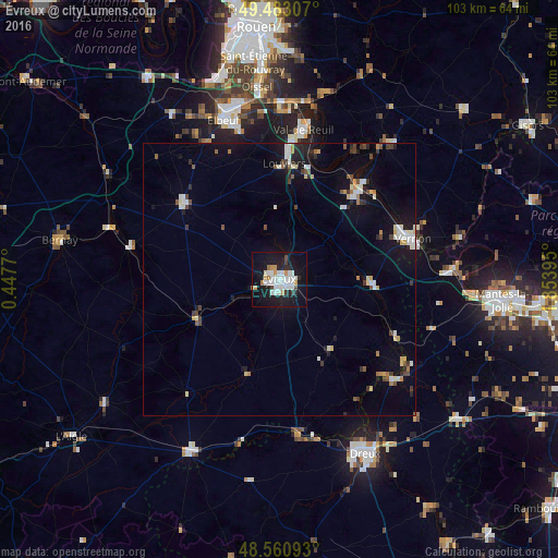
Analysis of Évreux night lights 2016
Square area 10x10 km:
 8.33%
8.33%90-99
11.31%80-89
0.6%70-79
4.32%60-69
1.93%50-59
0%40-49
1.93%30-39
1.79%20-29
6.1%10-19
41.22%0-9
22.47%Square area 50x50 km:
0.79%90-99
1.26%80-89
0.51%70-79
0.47%60-69
0.45%50-59
0.43%40-49
0.7%30-39
0.66%20-29
0.91%10-19
4.86%0-9
88.97%Clear (daylight) street map image can be seen on geolist.org.
Map coordinates:
49° 28' 59.1" North, 0° 26' 51.7" East
49° 1' 26.9" North, 1° 9' 3" East
48° 33' 39.3" North, 1° 51' 14.2" East
Some cities around Évreux sort by population:
• Vernon
24 km =14.9 mi,  71°
71°
• Louviers
21.4 km =13.3 mi,  3°
3°
• Val-de-Reuil
28.1 km =17.5 mi,  8°
8°
• Caudebec-lès-Elbeuf
30 km =18.6 mi,  341°
341°
• Saint-Pierre-lès-Elbeuf
29.4 km =18.3 mi, 344°
• Gaillon
20.5 km =12.7 mi,  42°
42°
• Saint-Marcel
23.4 km =14.5 mi, 68°
• Pacy-sur-Eure
17 km =10.6 mi,  92°
92°
3019265 (p: 57,795)
Sources (retrieved 2019-11-25):
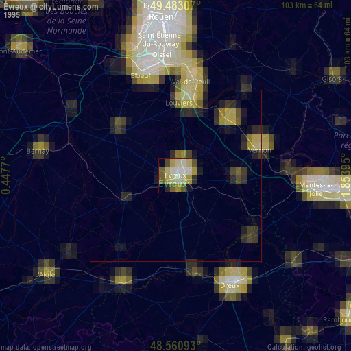
» NASA, Earths city lights 1995
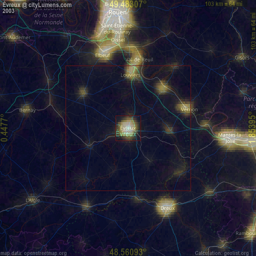
» NASA city lights 2003
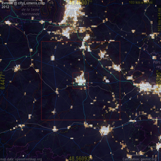
» Earth at Night: Flat Maps 2012, 2016