Vernon night lights from space
Night Light of Vernon (Normandy) from space (France) Src. Average luminocity for 10x10km area is 24.8165% and for 50x50km: 11.414%.
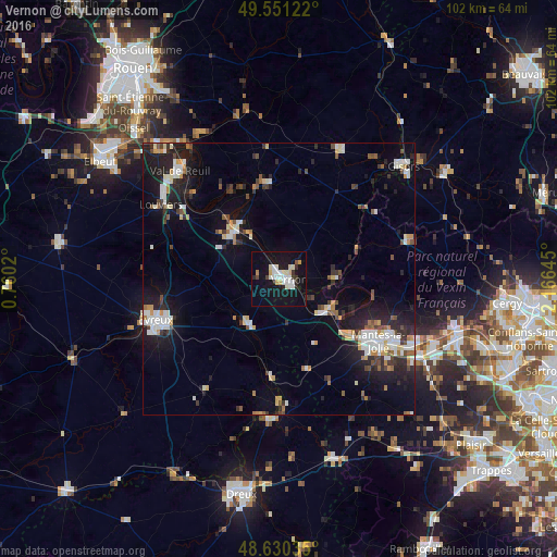
Analysis of Vernon night lights 2016
Square area 10x10 km:
 4.48%
4.48%90-99
7.98%80-89
2.52%70-79
1.26%60-69
0.56%50-59
0.56%40-49
0.98%30-39
2.66%20-29
2.8%10-19
35.01%0-9
41.18%Square area 50x50 km:
1.78%90-99
2.34%80-89
1%70-79
1.04%60-69
0.84%50-59
0.99%40-49
1.27%30-39
1.33%20-29
3.41%10-19
9.31%0-9
76.7%Clear (daylight) street map image can be seen on geolist.org.
Map coordinates:
49° 33' 4.4" North, 0° 45' 36.7" East
49° 5' 34.5" North, 1° 27' 48" East
48° 37' 49.3" North, 2° 9' 59.2" East
Some cities around Vernon sort by population:
• Mantes-la-Jolie
21.7 km =13.5 mi,  121°
121°
• Mantes-la-Ville
21.9 km =13.6 mi,  127°
127°
• Limay
22.9 km =14.2 mi, 118°
• Les Andelys
17.4 km =10.8 mi,  347°
347°
• Gaillon
11.7 km =7.3 mi,  310°
310°
• Magnanville
20.9 km =13 mi, 131°
• Saint-Marcel
1.2 km =0.7 mi, 309°
• Pacy-sur-Eure
10.3 km =6.4 mi,  214°
214°
2969766 (p: 26,037)
Sources (retrieved 2019-11-25):
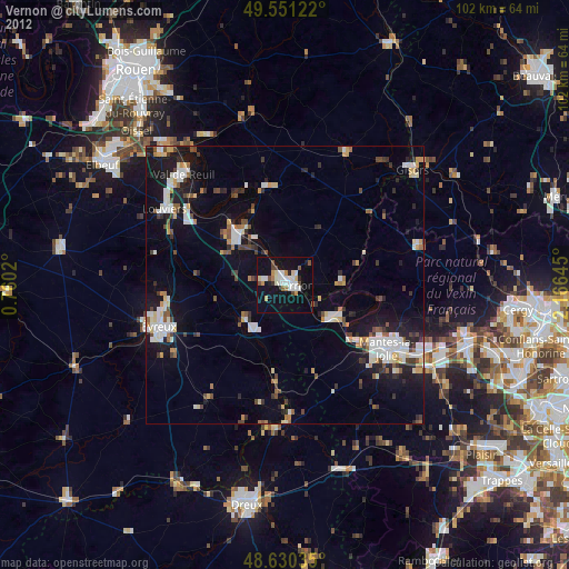
» Earth at Night: Flat Maps 2012, 2016