Châtenay-Malabry night lights from space
Night Light of Châtenay-Malabry (Île-de-France) from space (France) Src. Average luminocity for 10x10km area is 90.7784% and for 50x50km: 71.107%.
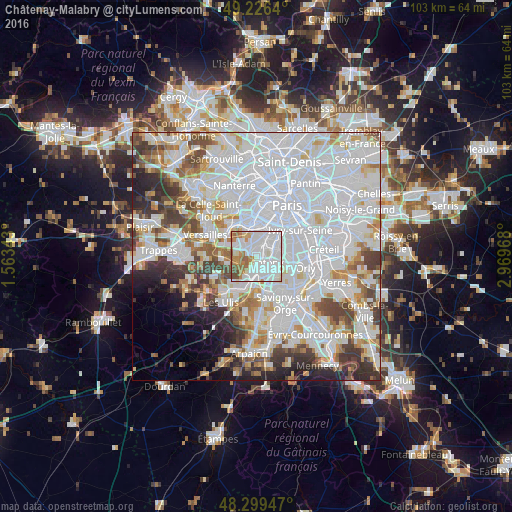
Analysis of Châtenay-Malabry night lights 2016
Square area 10x10 km:
 41.76%
90-99
32.53%80-89
4.12%70-79
6.53%60-69
8.95%50-59
2.7%40-49
3.41%30-39
0%20-29
0%10-19
0%0-9
0%Square area 50x50 km:
34.1%90-99
17.73%80-89
5.18%70-79
4.78%60-69
5.22%50-59
4.11%40-49
5.74%30-39
4.69%20-29
5%10-19
3.98%0-9
9.48%Clear (daylight) street map image can be seen on geolist.org.
Map coordinates:
49° 13' 35" North, 1° 33' 48.3" East
48° 45' 54.3" North, 2° 15' 59.6" East
48° 17' 58.1" North, 2° 58' 10.8" East
Some cities around Châtenay-Malabry sort by population:
• Antony
2.6 km =1.6 mi,  120°
120°
• Clamart
4.2 km =2.6 mi,  0°
0°
• Fontenay-aux-Roses
3.7 km =2.3 mi,  31°
31°
• Le Plessis-Robinson
2.7 km =1.7 mi,  6°
6°
• Sceaux
2.1 km =1.3 mi,  53°
53°
• Bourg-la-Reine
4.1 km =2.5 mi,  67°
67°
• Verrières-le-Buisson
2.2 km =1.4 mi,  177°
177°
• Igny
3.9 km =2.4 mi,  233°
233°
3026108 (p: 32,715)
Sources (retrieved 2019-11-25):
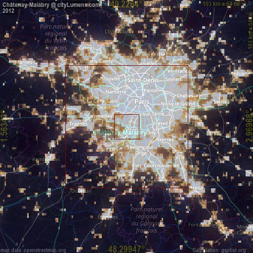
» Earth at Night: Flat Maps 2012, 2016