Torcy night lights from space
Night Light of Torcy (Île-de-France) from space (France) Src. Average luminocity for 10x10km area is 80.7855% and for 50x50km: 53.3887%.
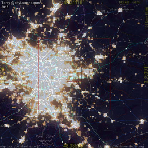
Analysis of Torcy night lights 2016
Square area 10x10 km:
 25.57%
90-99
26.28%80-89
9.38%70-79
6.82%60-69
10.51%50-59
9.38%40-49
5.82%30-39
6.11%20-29
0.14%10-19
0%0-9
0%Square area 50x50 km:
24.93%90-99
12.22%80-89
3.4%70-79
3%60-69
3.75%50-59
3.59%40-49
4.02%30-39
4.16%20-29
6.37%10-19
10.43%0-9
24.12%Clear (daylight) street map image can be seen on geolist.org.
Map coordinates:
49° 18' 40.2" North, 1° 56' 51.6" East
48° 51' 2.3" North, 2° 39' 2.8" East
48° 23' 9" North, 3° 21' 14.1" East
Some cities around Torcy sort by population:
• Champs-sur-Marne
3.7 km =2.3 mi,  268°
268°
• Lognes
2.3 km =1.4 mi,  221°
221°
• Noisiel
1.9 km =1.2 mi,  263°
263°
• Vaires-sur-Marne
3 km =1.9 mi,  344°
344°
• Bussy-Saint-Georges
3.9 km =2.4 mi,  106°
106°
• Émerainville
4.7 km =2.9 mi,  207°
207°
• Saint-Thibault-des-Vignes
3.1 km =1.9 mi,  43°
43°
• Gournay-sur-Marne
5 km =3.1 mi,  284°
284°
2972444 (p: 24,386)
Sources (retrieved 2019-11-25):
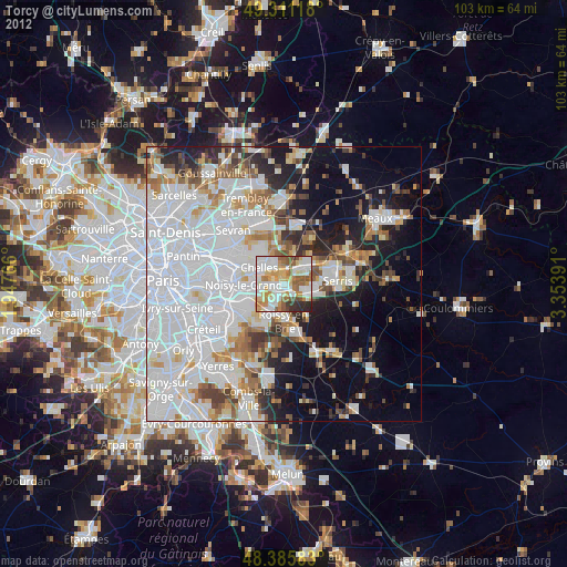
» Earth at Night: Flat Maps 2012, 2016