Saint-Maur-des-Fossés night lights from space
Night Light of Saint-Maur-des-Fossés (Île-de-France) from space (France) Src. Average luminocity for 10x10km area is 96.5156% and for 50x50km: 70.5055%.
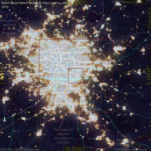

Analysis of Saint-Maur-des-Fossés night lights 2016
Square area 10x10 km:
 71.45%
90-99
17.47%80-89
3.41%70-79
3.27%60-69
2.56%50-59
1.7%40-49
0.14%30-39
0%20-29
0%10-19
0%0-9
0%Square area 50x50 km:
34.75%90-99
17.66%80-89
4.42%70-79
4.75%60-69
4.87%50-59
3.7%40-49
4.34%30-39
4.6%20-29
5.16%10-19
6.32%0-9
9.43%Clear (daylight) street map image can be seen on geolist.org.
Map coordinates:
49° 15' 18" North, 1° 47' 24.4" East
48° 47' 38.2" North, 2° 29' 35.6" East
48° 19' 43" North, 3° 11' 46.9" East
Some cities around Saint-Maur-des-Fossés sort by population:
• Créteil
2 km =1.2 mi,  265°
265°
• Champigny-sur-Marne
2.5 km =1.6 mi,  0°
0°
• Maisons-Alfort
4.4 km =2.7 mi,  296°
296°
• Sucy-en-Brie
4.1 km =2.5 mi,  132°
132°
• Bonneuil-sur-Marne
2.9 km =1.8 mi,  200°
200°
• Chennevières-sur-Marne
3.5 km =2.2 mi,  84°
84°
• Joinville-le-Pont
3.8 km =2.4 mi,  338°
338°
• Ormesson-sur-Marne
3.9 km =2.4 mi,  102°
102°
2978179 (p: 75,402)
Sources (retrieved 2019-11-25):
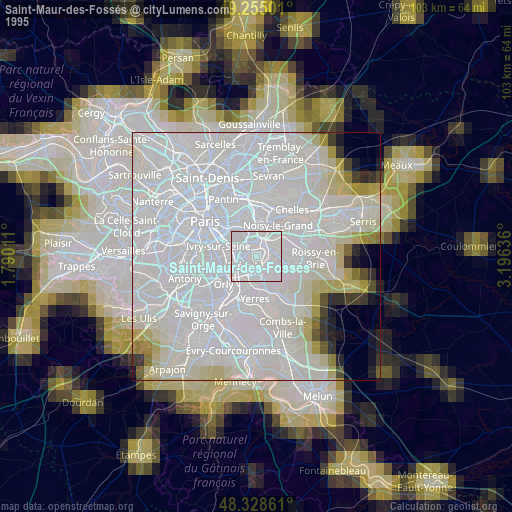
» NASA, Earths city lights 1995
» NASA city lights 2003
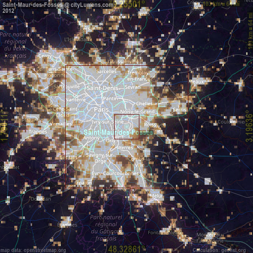
» Earth at Night: Flat Maps 2012, 2016