Cavaillon night lights from space
Night Light of Cavaillon (Provence-Alpes-Côte d'Azur) from space (France) Src. Average luminocity for 10x10km area is 39.0111% and for 50x50km: 19.245%.
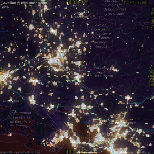
Analysis of Cavaillon night lights 2016
Square area 10x10 km:
 5.87%
5.87%90-99
9.68%80-89
5.24%70-79
2.7%60-69
3.81%50-59
2.22%40-49
3.49%30-39
5.24%20-29
14.44%10-19
46.35%0-9
0.95%Square area 50x50 km:
2.58%90-99
3.86%80-89
2.34%70-79
1.91%60-69
2.14%50-59
1.91%40-49
1.98%30-39
2.28%20-29
5.5%10-19
19.25%0-9
56.26%Clear (daylight) street map image can be seen on geolist.org.
Map coordinates:
44° 20' 10.8" North, 4° 19' 57.9" East
43° 49' 52.5" North, 5° 2' 9.1" East
43° 19' 18.7" North, 5° 44' 20.4" East
Some cities around Cavaillon sort by population:
• L’Isle-sur-la-Sorgue
9.9 km =6.2 mi,  7°
7°
• Châteaurenard
15.6 km =9.7 mi,  291°
291°
• Saint-Rémy-de-Provence
17.1 km =10.6 mi,  253°
253°
• Le Thor
11.4 km =7.1 mi,  343°
343°
• Morières-lès-Avignon
16.2 km =10.1 mi,  318°
318°
• Eyguières
15.2 km =9.4 mi,  181°
181°
• Sénas
10.3 km =6.4 mi,  160°
160°
• Mallemort
16 km =9.9 mi,  133°
133°
3028134 (p: 26,689)
Sources (retrieved 2019-11-25):
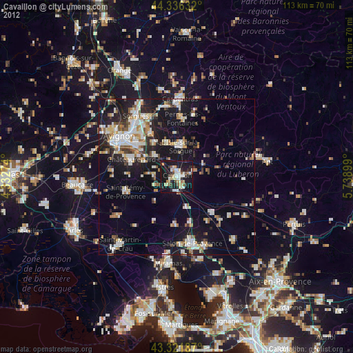
» Earth at Night: Flat Maps 2012, 2016