Carcassonne night lights from space
Night Light of Carcassonne (Occitanie) from space (France) Src. Average luminocity for 10x10km area is 39.2636% and for 50x50km: 4.145%.
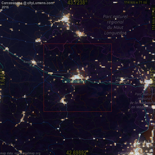

Analysis of Carcassonne night lights 2016
Square area 10x10 km:
 6.97%
6.97%90-99
7.58%80-89
3.64%70-79
1.97%60-69
5.45%50-59
6.82%40-49
5.76%30-39
3.79%20-29
14.09%10-19
39.85%0-9
4.09%Square area 50x50 km:
0.37%90-99
0.56%80-89
0.49%70-79
0.33%60-69
0.62%50-59
0.73%40-49
0.74%30-39
0.51%20-29
1.08%10-19
2.75%0-9
91.83%Clear (daylight) street map image can be seen on geolist.org.
Map coordinates:
43° 43' 25.7" North, 1° 38' 54.6" East
43° 12' 48.6" North, 2° 21' 5.8" East
42° 41' 56.1" North, 3° 3' 17.1" East
Some cities around Carcassonne sort by population:
• Castelnaudary
34.2 km =21.3 mi,  289°
289°
• Mazamet
30.8 km =19.1 mi,  3°
3°
• Limoux
20.5 km =12.7 mi,  210°
210°
• Lézignan-Corbières
33.3 km =20.7 mi,  93°
93°
• Revel
39.1 km =24.3 mi,  314°
314°
• Aussillon
32.2 km =20 mi, 2°
• Trèbes
7.3 km =4.5 mi, 92°
• Labruguière
36.8 km =22.9 mi,  348°
348°
3028641 (p: 49,600)
Sources (retrieved 2019-11-25):
» NASA, Earths city lights 1995
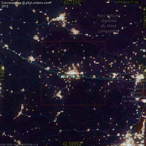
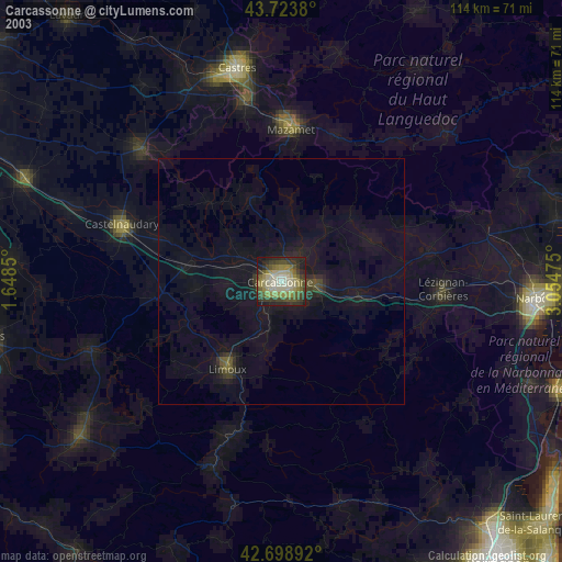
» NASA city lights 2003
» Earth at Night: Flat Maps 2012, 2016