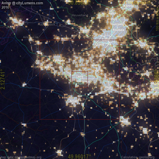
Avion night lights from space
Night Light of Avion (Hauts-de-France) from space (France) Src. Average luminocity for 10x10km area is 77.7451% and for 50x50km: 39.8423%.
Analysis of Avion night lights 2016
Square area 10x10 km:
 29.13%
90-99
28.85%80-89
4.34%70-79
4.76%60-69
4.48%50-59
3.5%40-49
3.64%30-39
14.15%20-29
7.14%10-19
0%0-9
0%Square area 50x50 km:
9.09%90-99
9.63%80-89
3.55%70-79
4.03%60-69
5.07%50-59
4.55%40-49
5.33%30-39
6.42%20-29
10.02%10-19
14.72%0-9
27.59%Clear (daylight) street map image can be seen on geolist.org.
Map coordinates:
50° 51' 22.9" North, 2° 7' 38.7" East
50° 24' 37.4" North, 2° 49' 49.9" East
49° 57' 36.6" North, 3° 32' 1.2" East
Some cities around Avion sort by population:
• Lens
2.5 km =1.6 mi,  355°
355°
• Liévin
3.7 km =2.3 mi,  286°
286°
• Méricourt
2.5 km =1.6 mi,  114°
114°
• Sallaumines
2.3 km =1.4 mi,  70°
70°
• Rouvroy
5.6 km =3.5 mi, 110°
• Billy-Montigny
5.2 km =3.2 mi,  81°
81°
• Noyelles-sous-Lens
3.7 km =2.3 mi,  52°
52°
• Loison-sous-Lens
3.5 km =2.2 mi,  27°
27°
3035667 (p: 18,470)
Sources (retrieved 2019-11-25):
» Earth at Night: Flat Maps 2012, 2016