Lens night lights from space
Night Light of Lens (Hauts-de-France) from space (France) Src. Average luminocity for 10x10km area is 85.8249% and for 50x50km: 42.0978%.
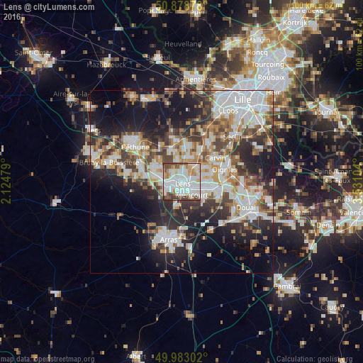
Analysis of Lens night lights 2016
Square area 10x10 km:
 31.93%
90-99
32.77%80-89
7.28%70-79
5.46%60-69
6.58%50-59
6.16%40-49
6.16%30-39
3.64%20-29
0%10-19
0%0-9
0%Square area 50x50 km:
10.21%90-99
9.97%80-89
3.68%70-79
4.32%60-69
5.26%50-59
4.73%40-49
5.53%30-39
6.64%20-29
10.27%10-19
15.01%0-9
24.39%Clear (daylight) street map image can be seen on geolist.org.
Map coordinates:
50° 52' 43.6" North, 2° 7' 29.2" East
50° 25' 58.9" North, 2° 49' 40.5" East
49° 58' 58.9" North, 3° 31' 51.7" East
Some cities around Lens sort by population:
• Liévin
3.7 km =2.3 mi,  246°
246°
• Avion
2.5 km =1.6 mi,  175°
175°
• Méricourt
4.3 km =2.7 mi,  145°
145°
• Sallaumines
3 km =1.9 mi,  125°
125°
• Noyelles-sous-Lens
3.1 km =1.9 mi,  94°
94°
• Loos-en-Gohelle
3.7 km =2.3 mi,  317°
317°
• Vendin-le-Vieil
5.3 km =3.3 mi,  31°
31°
• Loison-sous-Lens
1.9 km =1.2 mi,  72°
72°
3003093 (p: 38,265)
Sources (retrieved 2019-11-25):
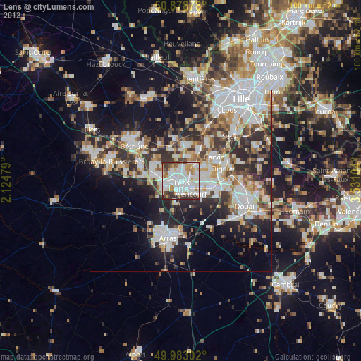
» Earth at Night: Flat Maps 2012, 2016