Kolonia Town night lights from space
Night Light of Kolonia Town (Pohnpei) from space (Micronesia) Src. Average luminocity for 10x10km area is 3.3636% and for 50x50km: 0.5378%.
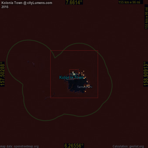
Analysis of Kolonia Town night lights 2016
Square area 10x10 km:
 0.65%
0.65%90-99
0.22%80-89
0%70-79
0.87%60-69
0%50-59
0.87%40-49
0.87%30-39
0%20-29
1.73%10-19
0%0-9
94.81%Square area 50x50 km:
0.03%90-99
0.01%80-89
0%70-79
0.11%60-69
0.29%50-59
0.22%40-49
0.03%30-39
0%20-29
0.07%10-19
0%0-9
99.24%Clear (daylight) street map image can be seen on geolist.org.
Map coordinates:
7° 39' 41" North, 157° 30' 10.4" East
6° 57' 50.4" North, 158° 12' 21.6" East
6° 15' 56" North, 158° 54' 32.9" East
Some cities around Kolonia Town sort by population:
• Weno
704.1 km =437.5 mi,  274°
274°
• Tofol
561.2 km =348.7 mi,  108°
108°
• Ujae, MH
860.6 km =534.8 mi,  75°
75°
• Lae, MH
913.6 km =567.7 mi, 76°
• Wotho, MH
928.9 km =577.2 mi,  67°
67°
• Lib, MH
1021.6 km =634.8 mi, 81°
• Enewetak, MH
665.7 km =413.6 mi,  42°
42°
• Palikir - National Government Center
6.6 km =4.1 mi,  228°
228°
2082038 (p: 5,681)
Sources (retrieved 2019-11-25):
» Earth at Night: Flat Maps 2012, 2016