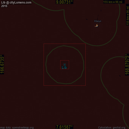
Lib night lights from space
Night Light of Lib (Lib Island) from space (Marshall Islands) Src. Average luminocity for 10x10km area is 0% and for 50x50km: 0%.
Analysis of Lib night lights 2016
Square area 10x10 km:
100  0%
0%
90-99 0%
80-89 0%
70-79 0%
60-69 0%
50-59 0%
40-49 0%
30-39 0%
20-29 0%
10-19 0%
0-9 100%
0%90-99
0%80-89
0%70-79
0%60-69
0%50-59
0%40-49
0%30-39
0%20-29
0%10-19
0%0-9
100%Square area 50x50 km:
100 0%
90-99 0%
80-89 0%
70-79 0%
60-69 0%
50-59 0%
40-49 0%
30-39 0%
20-29 0%
10-19 0%
0-9 100%
0%90-99
0%80-89
0%70-79
0%60-69
0%50-59
0%40-49
0%30-39
0%20-29
0%10-19
0%0-9
100%Clear (daylight) street map image can be seen on geolist.org.
Map coordinates:
9° 0' 26.3" North, 166° 40' 24.6" East
8° 18' 44" North, 167° 22' 35.8" East
7° 36' 57.1" North, 168° 4' 47.1" East
Some cities around Lib sort by population:
• Ebaye
65.1 km =40.5 mi,  37°
37°
• Likiep
270.9 km =168.3 mi,  51°
51°
• Ujae
190.2 km =118.2 mi,  291°
291°
• Lae
139.9 km =86.9 mi,  298°
298°
• Wotho
254.9 km =158.4 mi,  323°
323°
• Jabat
186.8 km =116.1 mi,  109°
109°
• Airuk
196.3 km =122 mi,  125°
125°
• Loen
112.3 km =69.8 mi,  123°
123°
7306524 (p: 115)
Sources (retrieved 2019-11-25):
» Earth at Night: Flat Maps 2012, 2016