Tofol night lights from space
Night Light of Tofol (Kosrae) from space (Micronesia) Src. Average luminocity for 10x10km area is 0% and for 50x50km: 0%.
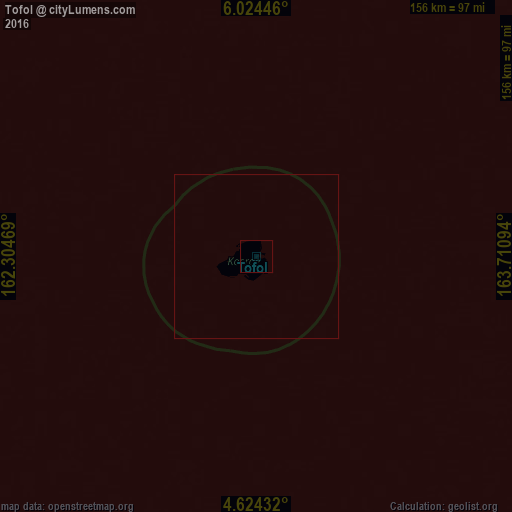
Analysis of Tofol night lights 2016
Square area 10x10 km:
 0%
0%90-99
0%80-89
0%70-79
0%60-69
0%50-59
0%40-49
0%30-39
0%20-29
0%10-19
0%0-9
100%Square area 50x50 km:
0%90-99
0%80-89
0%70-79
0%60-69
0%50-59
0%40-49
0%30-39
0%20-29
0%10-19
0%0-9
100%Clear (daylight) street map image can be seen on geolist.org.
Map coordinates:
6° 1' 28.1" North, 162° 18' 16.9" East
5° 19' 29.2" North, 163° 0' 28.1" East
4° 37' 27.6" North, 163° 42' 39.4" East
Some cities around Tofol sort by population:
• Kolonia
561.2 km =348.7 mi,  288°
288°
• Kolonia Town
561.2 km =348.7 mi, 288°
• Namdrik, MH
564.8 km =351 mi,  86°
86°
• Ujae, MH
503.3 km =312.7 mi,  37°
37°
• Lae, MH
537.6 km =334 mi, 41°
• Wotho, MH
631.7 km =392.5 mi,  31°
31°
• Lib, MH
585.6 km =363.9 mi,  55°
55°
• Palikir - National Government Center
564.6 km =350.8 mi, 288°
2081342 (p: 9,686)
Sources (retrieved 2019-11-25):
» Earth at Night: Flat Maps 2012, 2016