Enewetak night lights from space
Night Light of Enewetak (Enewetak Atoll) from space (Marshall Islands) Src. Average luminocity for 10x10km area is 0% and for 50x50km: 0%.
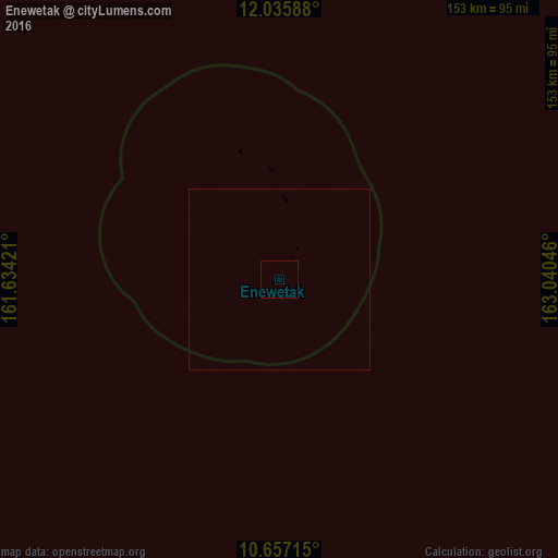
Analysis of Enewetak night lights 2016
Square area 10x10 km:
 0%
0%90-99
0%80-89
0%70-79
0%60-69
0%50-59
0%40-49
0%30-39
0%20-29
0%10-19
0%0-9
100%Square area 50x50 km:
0%90-99
0%80-89
0%70-79
0%60-69
0%50-59
0%40-49
0%30-39
0%20-29
0%10-19
0%0-9
100%Clear (daylight) street map image can be seen on geolist.org.
Map coordinates:
12° 2' 9.2" North, 161° 38' 3.2" East
11° 20' 50.5" North, 162° 20' 14.4" East
10° 39' 25.7" North, 163° 2' 25.7" East
Some cities around Enewetak sort by population:
• Ebaye
656.9 km =408.2 mi,  115°
115°
• Kolonia, FM
665.6 km =413.6 mi,  222°
222°
• Kolonia Town, FM
665.7 km =413.6 mi, 222°
• Ujae
461.3 km =286.6 mi,  125°
125°
• Lae
507.3 km =315.2 mi, 122°
• Wotho
422.2 km =262.3 mi,  108°
108°
• Lib
647 km =402 mi, 121°
• Rongelap
497.3 km =309 mi,  92°
92°
7306511 (p: 0)
Sources (retrieved 2019-11-25):
» Earth at Night: Flat Maps 2012, 2016