Palikir - National Government Center night lights from space
Night Light of Palikir - National Government Center (Pohnpei) from space (Micronesia) Src. Average luminocity for 10x10km area is 0.697% and for 50x50km: 0.5378%.
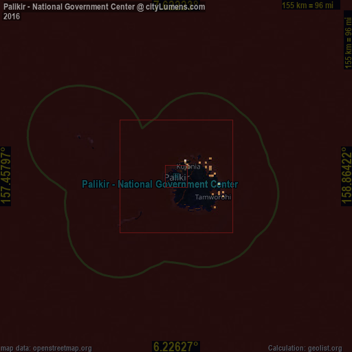
Analysis of Palikir - National Government Center night lights 2016
Square area 10x10 km:
 0%
0%90-99
0%80-89
0%70-79
0.22%60-69
0%50-59
0.43%40-49
0%30-39
0%20-29
0.87%10-19
0%0-9
98.48%Square area 50x50 km:
0.03%90-99
0.01%80-89
0%70-79
0.11%60-69
0.29%50-59
0.22%40-49
0.03%30-39
0%20-29
0.07%10-19
0%0-9
99.24%Clear (daylight) street map image can be seen on geolist.org.
Map coordinates:
7° 37' 20" North, 157° 27' 28.7" East
6° 55' 29.2" North, 158° 9' 39.9" East
6° 13' 34.6" North, 158° 51' 51.2" East
Some cities around Palikir - National Government Center sort by population:
• Weno
699.6 km =434.7 mi,  274°
274°
• Tofol
564.6 km =350.8 mi,  108°
108°
• Kolonia
6.6 km =4.1 mi,  48°
48°
• Kolonia Town
6.6 km =4.1 mi, 48°
• Ujae, MH
866.5 km =538.4 mi,  75°
75°
• Lae, MH
919.5 km =571.4 mi, 76°
• Wotho, MH
935.1 km =581 mi,  67°
67°
• Enewetak, MH
672.2 km =417.7 mi,  42°
42°
2081986 (p: 0)
Sources (retrieved 2019-11-25):
» Earth at Night: Flat Maps 2012, 2016