Ujae night lights from space
Night Light of Ujae (Ujae Atoll) from space (Marshall Islands) Src. Average luminocity for 10x10km area is 0% and for 50x50km: 0%.
Analysis of Ujae night lights 2016
Square area 10x10 km:
100  0%
0%
90-99 0%
80-89 0%
70-79 0%
60-69 0%
50-59 0%
40-49 0%
30-39 0%
20-29 0%
10-19 0%
0-9 100%
0%90-99
0%80-89
0%70-79
0%60-69
0%50-59
0%40-49
0%30-39
0%20-29
0%10-19
0%0-9
100%Square area 50x50 km:
100 0%
90-99 0%
80-89 0%
70-79 0%
60-69 0%
50-59 0%
40-49 0%
30-39 0%
20-29 0%
10-19 0%
0-9 100%
0%90-99
0%80-89
0%70-79
0%60-69
0%50-59
0%40-49
0%30-39
0%20-29
0%10-19
0%0-9
100%Clear (daylight) street map image can be seen on geolist.org.
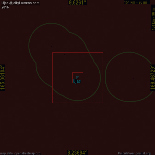
Map coordinates:
9° 37' 34" North, 165° 3' 39.7" East
8° 55' 55.8" North, 165° 45' 51" East
8° 14' 13" North, 166° 28' 2.2" East
Some cities around Ujae sort by population:
• Ebaye
217.7 km =135.3 mi,  94°
94°
• Lae
54.9 km =34.1 mi, 91°
• Wotho
139.8 km =86.9 mi,  11°
11°
• Lib
190.2 km =118.2 mi,  111°
111°
• Jabat
376.9 km =234.2 mi, 110°
• Rongelap
277.2 km =172.2 mi,  26°
26°
• Airuk
383.4 km =238.2 mi,  118°
118°
• Loen
301 km =187 mi, 115°
7306519 (p: 448)
Sources (retrieved 2019-11-25):
» Earth at Night: Flat Maps 2012, 2016