Weno night lights from space
Night Light of Weno (Chuuk) from space (Micronesia) Src. Average luminocity for 10x10km area is 3.303% and for 50x50km: 0.1991%.
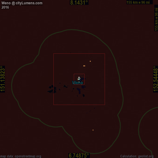
Analysis of Weno night lights 2016
Square area 10x10 km:
 0.87%
0.87%90-99
0.87%80-89
0%70-79
0%60-69
0.43%50-59
0.43%40-49
0.87%30-39
0%20-29
0.87%10-19
0.87%0-9
94.81%Square area 50x50 km:
0.03%90-99
0.03%80-89
0%70-79
0.03%60-69
0.08%50-59
0.03%40-49
0.03%30-39
0%20-29
0.03%10-19
0.03%0-9
99.7%Clear (daylight) street map image can be seen on geolist.org.
Map coordinates:
8° 8' 35.2" North, 151° 8' 17.6" East
7° 26' 47.3" North, 151° 50' 28.9" East
6° 44' 55.5" North, 152° 32' 40.1" East
Some cities around Weno sort by population:
• Yigo Village, GU
1017.7 km =632.4 mi,  311°
311°
• Yona Village, GU
1017.7 km =632.4 mi, 310°
• Kolonia
704.2 km =437.6 mi,  94°
94°
• Kolonia Town
704.1 km =437.5 mi, 94°
• Talofofo Village, GU
1015.4 km =630.9 mi, 310°
• Inarajan Village, GU
1010.5 km =627.9 mi, 309°
• Merizo Village, GU
1016.6 km =631.7 mi, 309°
• Palikir - National Government Center
699.6 km =434.7 mi, 94°
2081114 (p: 13,856)
Sources (retrieved 2019-11-25):
» Earth at Night: Flat Maps 2012, 2016