Levuka night lights from space
Night Light of Levuka (Eastern) from space (Fiji) Src. Average luminocity for 10x10km area is 0% and for 50x50km: 0%.
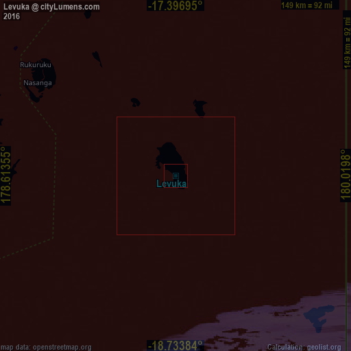
Analysis of Levuka night lights 2016
Square area 10x10 km:
 0%
0%90-99
0%80-89
0%70-79
0%60-69
0%50-59
0%40-49
0%30-39
0%20-29
0%10-19
0%0-9
100%Square area 50x50 km:
0%90-99
0%80-89
0%70-79
0%60-69
0%50-59
0%40-49
0%30-39
0%20-29
0%10-19
0%0-9
100%Clear (daylight) street map image can be seen on geolist.org.
Map coordinates:
17° 23' 49" South, 178° 36' 48.8" East
18° 4' 0" South, 179° 19' 0" East
18° 44' 1.8" South, 180° 1' 11.3" East
Some cities around Levuka sort by population:
• Suva
92.9 km =57.7 mi,  264°
264°
• Lautoka
203.8 km =126.6 mi,  284°
284°
• Nadi
203.2 km =126.3 mi, 278°
• Labasa
181.7 km =112.9 mi,  1°
1°
• Ba
183.7 km =114.1 mi,  288°
288°
• Funafuti, TV
1061.1 km =659.3 mi,  359°
359°
• Isangel, VU
1068.7 km =664.1 mi, 261°
• Ahau
664.9 km =413.1 mi,  338°
338°
2204417 (p: 8,360)
Sources (retrieved 2019-11-25):
» Earth at Night: Flat Maps 2012, 2016