Noormarkku night lights from space
Night Light of Noormarkku (Satakunta) from space (Finland) Src. Average luminocity for 10x10km area is 7.1408% and for 50x50km: 4.6188%.
Analysis of Noormarkku night lights 2016
Square area 10x10 km:
 0%
0%90-99
0.83%80-89
1.04%70-79
0.83%60-69
1.86%50-59
0.93%40-49
1.14%30-39
0%20-29
0%10-19
6.31%0-9
87.06%Square area 50x50 km:
0.82%90-99
0.89%80-89
0.41%70-79
0.41%60-69
0.58%50-59
0.44%40-49
0.52%30-39
0.69%20-29
1.19%10-19
2.81%0-9
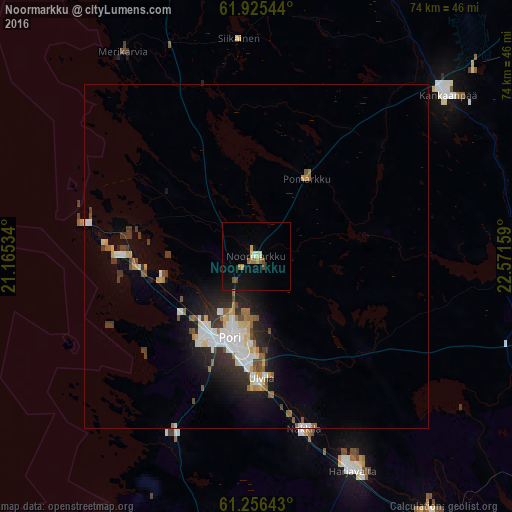
91.25%Clear (daylight) street map image can be seen on geolist.org.
Map coordinates:
61° 55' 31.6" North, 21° 9' 55.2" East
61° 35' 33.9" North, 21° 52' 6.5" East
61° 15' 23.1" North, 22° 34' 17.7" East
Some cities around Noormarkku sort by population:
• Pori
13 km =8.1 mi,  200°
200°
• Kankaanpää
37 km =23 mi,  51°
51°
• Ulvila
18.3 km =11.4 mi,  179°
179°
• Eura
53 km =32.9 mi,  164°
164°
• Kokemäki
45.5 km =28.3 mi,  145°
145°
• Harjavalta
33.8 km =21 mi, 155°
• Nakkila
26.1 km =16.2 mi, 164°
• Eurajoki
44.3 km =27.5 mi,  189°
189°
644436 (p: 6,076)
Sources (retrieved 2019-11-25):
» Earth at Night: Flat Maps 2012, 2016