Kankaanpää night lights from space
Night Light of Kankaanpää (Satakunta) from space (Finland) Src. Average luminocity for 10x10km area is 14.4482% and for 50x50km: 1.06%.
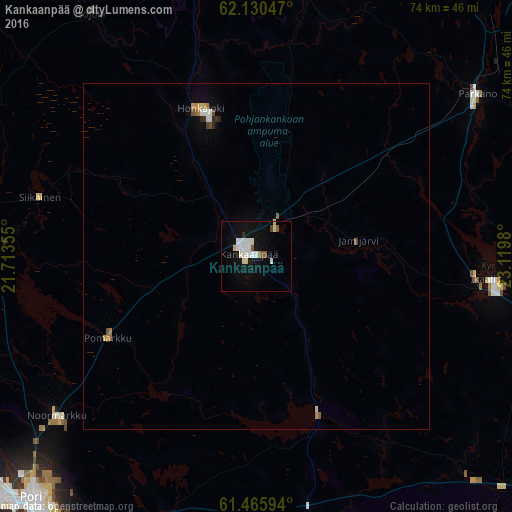
Analysis of Kankaanpää night lights 2016
Square area 10x10 km:
 3.52%
3.52%90-99
4.76%80-89
1.04%70-79
0%60-69
0.41%50-59
1.66%40-49
0.41%30-39
0.21%20-29
0.21%10-19
12.94%0-9
74.84%Square area 50x50 km:
0.19%90-99
0.24%80-89
0.11%70-79
0.09%60-69
0.07%50-59
0.15%40-49
0.08%30-39
0.05%20-29
0.07%10-19
0.56%0-9
98.39%Clear (daylight) street map image can be seen on geolist.org.
Map coordinates:
62° 7' 49.7" North, 21° 42' 48.8" East
61° 48' 0" North, 22° 25' 0" East
61° 27' 57.4" North, 23° 7' 11.3" East
Some cities around Kankaanpää sort by population:
• Pori
48.6 km =30.2 mi,  223°
223°
• Ulvila
50.4 km =31.3 mi,  214°
214°
• Hämeenkyrö
44.7 km =27.8 mi,  113°
113°
• Harjavalta
55.8 km =34.7 mi,  195°
195°
• Ikaalinen
34.3 km =21.3 mi,  95°
95°
• Parkano
39.6 km =24.6 mi,  52°
52°
• Noormarkku
37 km =23 mi,  231°
231°
• Nakkila
53 km =32.9 mi, 204°
654363 (p: 12,381)
Sources (retrieved 2019-11-25):
» Earth at Night: Flat Maps 2012, 2016