Harjavalta night lights from space
Night Light of Harjavalta (Satakunta) from space (Finland) Src. Average luminocity for 10x10km area is 15.831% and for 50x50km: 5.0738%.
Analysis of Harjavalta night lights 2016
Square area 10x10 km:
 3.66%
3.66%90-99
2.96%80-89
1.09%70-79
1.19%60-69
1.38%50-59
1.88%40-49
2.37%30-39
0.1%20-29
0%10-19
16.4%0-9
68.97%Square area 50x50 km:
1.04%90-99
1%80-89
0.39%70-79
0.37%60-69
0.65%50-59
0.66%40-49
0.63%30-39
0.49%20-29
1.18%10-19
2.98%0-9
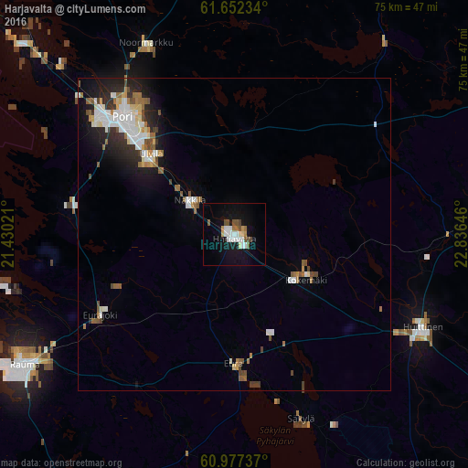
90.61%Clear (daylight) street map image can be seen on geolist.org.
Map coordinates:
61° 39' 8.4" North, 21° 25' 48.8" East
61° 19' 0" North, 22° 7' 60" East
60° 58' 38.5" North, 22° 50' 11.3" East
Some cities around Harjavalta sort by population:
• Pori
26.3 km =16.3 mi,  314°
314°
• Ulvila
18.7 km =11.6 mi, 311°
• Eura
20.4 km =12.7 mi,  180°
180°
• Huittinen
33.7 km =20.9 mi,  116°
116°
• Kokemäki
13.7 km =8.5 mi, 119°
• Noormarkku
33.8 km =21 mi,  335°
335°
• Nakkila
9 km =5.6 mi, 308°
• Eurajoki
25 km =15.5 mi,  238°
238°
658921 (p: 7,572)
Sources (retrieved 2019-11-25):
» Earth at Night: Flat Maps 2012, 2016