Kokemäki night lights from space
Night Light of Kokemäki (Satakunta) from space (Finland) Src. Average luminocity for 10x10km area is 6.6271% and for 50x50km: 2.6329%.
Analysis of Kokemäki night lights 2016
Square area 10x10 km:
 1.03%
1.03%90-99
0.62%80-89
0.41%70-79
0.83%60-69
1.45%50-59
1.14%40-49
2.17%30-39
0.21%20-29
0%10-19
0%0-9
92.15%Square area 50x50 km:
0.39%90-99
0.41%80-89
0.13%70-79
0.25%60-69
0.42%50-59
0.53%40-49
0.4%30-39
0.24%20-29
0.02%10-19
1.55%0-9
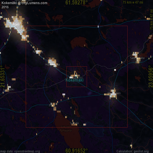
95.66%Clear (daylight) street map image can be seen on geolist.org.
Map coordinates:
61° 35' 34" North, 21° 39' 11.9" East
61° 15' 23.3" North, 22° 21' 23.1" East
60° 54' 59.5" North, 23° 3' 34.4" East
Some cities around Kokemäki sort by population:
• Pori
39.6 km =24.6 mi,  309°
309°
• Vammala
30.3 km =18.8 mi,  73°
73°
• Ulvila
32.2 km =20 mi, 306°
• Eura
18.2 km =11.3 mi,  221°
221°
• Huittinen
20.1 km =12.5 mi,  113°
113°
• Harjavalta
13.7 km =8.5 mi,  299°
299°
• Nakkila
22.6 km =14 mi, 302°
• Eurajoki
33.9 km =21.1 mi,  259°
259°
651980 (p: 8,390)
Sources (retrieved 2019-11-25):
» Earth at Night: Flat Maps 2012, 2016