Hamina night lights from space
Night Light of Hamina (Kymenlaakso) from space (Finland) Src. Average luminocity for 10x10km area is 57.4824% and for 50x50km: 10.7711%.
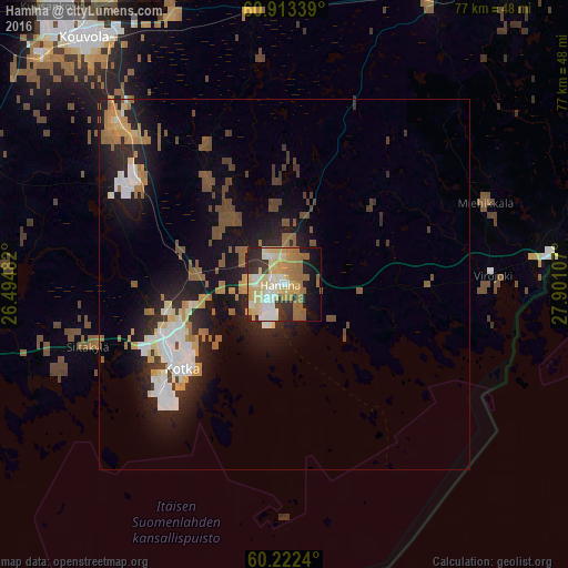
Analysis of Hamina night lights 2016
Square area 10x10 km:
 6.51%
6.51%90-99
13.74%80-89
16.84%70-79
6.51%60-69
14.57%50-59
4.24%40-49
0.52%30-39
5.58%20-29
11.47%10-19
11.16%0-9
8.88%Square area 50x50 km:
1.36%90-99
1.91%80-89
1.36%70-79
1.26%60-69
1.84%50-59
1.47%40-49
1.23%30-39
1.02%20-29
3.37%10-19
7.99%0-9
77.18%Clear (daylight) street map image can be seen on geolist.org.
Map coordinates:
60° 54' 48.2" North, 26° 29' 41.4" East
60° 34' 11.1" North, 27° 11' 52.6" East
60° 13' 20.6" North, 27° 54' 3.9" East
Some cities around Hamina sort by population:
• Kotka
18 km =11.2 mi,  230°
230°
• Kouvola
42.7 km =26.5 mi,  320°
320°
• Karhula
15.5 km =9.6 mi,  249°
249°
• Anjala
23.6 km =14.7 mi,  302°
302°
• Lovisa
54.7 km =34 mi,  256°
256°
• Elimäki
43.1 km =26.8 mi,  292°
292°
• Iitti
59.1 km =36.7 mi,  307°
307°
• Luumäki
44.8 km =27.8 mi,  27°
27°
659169 (p: 21,712)
Sources (retrieved 2019-11-25):
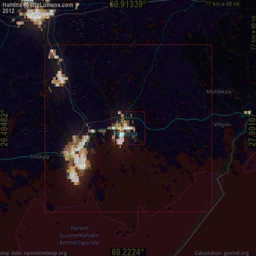
» Earth at Night: Flat Maps 2012, 2016