Butajīra night lights from space
Night Light of Butajīra (SNNPR) from space (Ethiopia) Src. Average luminocity for 10x10km area is 2.4876% and for 50x50km: 0.1315%.
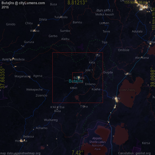
Analysis of Butajīra night lights 2016
Square area 10x10 km:
100  0%
0%
90-99 0%
80-89 0%
70-79 0.83%
60-69 0%
50-59 0%
40-49 2.89%
30-39 0.41%
20-29 0.83%
10-19 0.83%
0-9 94.21%
0%90-99
0%80-89
0%70-79
0.83%60-69
0%50-59
0%40-49
2.89%30-39
0.41%20-29
0.83%10-19
0.83%0-9
94.21%Square area 50x50 km:
100 0%
90-99 0%
80-89 0%
70-79 0.03%
60-69 0%
50-59 0%
40-49 0.15%
30-39 0.02%
20-29 0.03%
10-19 0.1%
0-9 99.66%
0%90-99
0%80-89
0%70-79
0.03%60-69
0%50-59
0%40-49
0.15%30-39
0.02%20-29
0.03%10-19
0.1%0-9
99.66%Clear (daylight) street map image can be seen on geolist.org.
Map coordinates:
8° 48' 43.7" North, 37° 39' 48.8" East
8° 7' 0" North, 38° 22' 0" East
7° 25' 12" North, 39° 4' 11.3" East
Some cities around Butajīra sort by population:
• Bishoftu
97.6 km =60.6 mi,  43°
43°
• Hosa’ina
84.6 km =52.6 mi,  221°
221°
• Ziway
43.6 km =27.1 mi,  117°
117°
• Waliso
64.1 km =39.8 mi,  316°
316°
• Mojo
98.1 km =61 mi,  57°
57°
• K’olīto
94.3 km =58.6 mi,  199°
199°
• Sebeta
93.1 km =57.8 mi,  17°
17°
• Tulu Bolo
63.3 km =39.3 mi,  344°
344°
341297 (p: 30,502)
Sources (retrieved 2019-11-25):
» Earth at Night: Flat Maps 2012, 2016