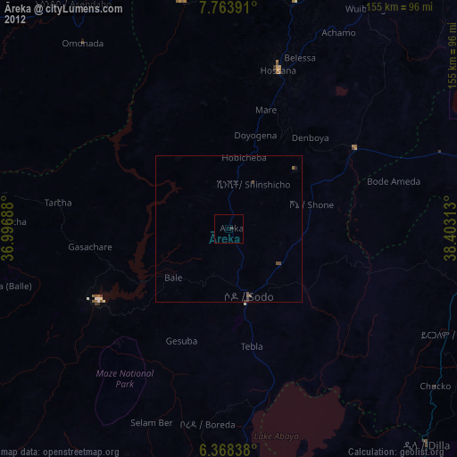
Āreka night lights from space
Night Light of Āreka (SNNPR) from space (Ethiopia) Src. Average luminocity for 10x10km area is 0.5346% and for 50x50km: 0.2868%.
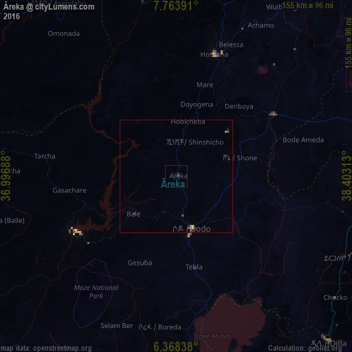
Analysis of Āreka night lights 2016
Square area 10x10 km:
100  0%
0%
90-99 0%
80-89 0%
70-79 0%
60-69 0%
50-59 0%
40-49 0%
30-39 0.87%
20-29 0.87%
10-19 0%
0-9 98.27%
0%90-99
0%80-89
0%70-79
0%60-69
0%50-59
0%40-49
0%30-39
0.87%20-29
0.87%10-19
0%0-9
98.27%Square area 50x50 km:
100 0%
90-99 0%
80-89 0%
70-79 0.07%
60-69 0.1%
50-59 0.06%
40-49 0.08%
30-39 0.11%
20-29 0.08%
10-19 0.03%
0-9 99.46%
0%90-99
0%80-89
0%70-79
0.07%60-69
0.1%50-59
0.06%40-49
0.08%30-39
0.11%20-29
0.08%10-19
0.03%0-9
99.46%Clear (daylight) street map image can be seen on geolist.org.
Map coordinates:
7° 45' 50.1" North, 36° 59' 48.8" East
7° 4' 0" North, 37° 42' 0" East
6° 22' 6.2" North, 38° 24' 11.3" East
Some cities around Āreka sort by population:
• Hawassa
85.7 km =53.3 mi,  90°
90°
• Sodo
24 km =14.9 mi,  163°
163°
• Hosa’ina
56.3 km =35 mi,  17°
17°
• Yirga ‘Alem
86.6 km =53.8 mi,  113°
113°
• Bodītī
21.5 km =13.4 mi,  121°
121°
• K’olīto
50.6 km =31.4 mi,  56°
56°
• Wendo
94.6 km =58.8 mi, 123°
• Leku
84.9 km =52.8 mi,  104°
104°
343593 (p: 33,150)
Sources (retrieved 2019-11-25):
» Earth at Night: Flat Maps 2012, 2016