K’olīto night lights from space
Night Light of K’olīto (SNNPR) from space (Ethiopia) Src. Average luminocity for 10x10km area is 2.145% and for 50x50km: 0.1613%.
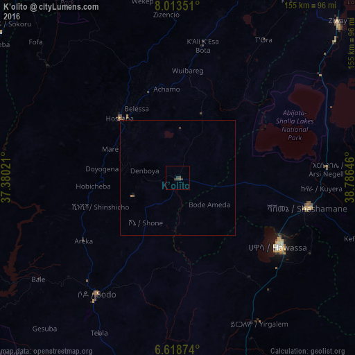
Analysis of K’olīto night lights 2016
Square area 10x10 km:
 0%
0%90-99
0%80-89
0%70-79
0%60-69
0%50-59
0.87%40-49
1.73%30-39
1.73%20-29
0.87%10-19
0%0-9
94.81%Square area 50x50 km:
0%90-99
0%80-89
0%70-79
0%60-69
0.03%50-59
0.07%40-49
0.08%30-39
0.12%20-29
0.03%10-19
0.03%0-9
99.63%Clear (daylight) street map image can be seen on geolist.org.
Map coordinates:
8° 0' 48.6" North, 37° 22' 48.8" East
7° 19' 0" North, 38° 4' 60" East
6° 37' 7.5" North, 38° 47' 11.3" East
Some cities around K’olīto sort by population:
• Hawassa
51.8 km =32.2 mi,  123°
123°
• Sodo
62 km =38.5 mi,  214°
214°
• Shashemenē
58.4 km =36.3 mi,  102°
102°
• Hosa’ina
36.2 km =22.5 mi,  315°
315°
• Yirga ‘Alem
73 km =45.4 mi,  149°
149°
• Āreka
50.6 km =31.4 mi,  236°
236°
• Bodītī
45.7 km =28.4 mi, 211°
• Leku
63.4 km =39.4 mi,  141°
141°
332880 (p: 25,614)
Sources (retrieved 2019-11-25):
» Earth at Night: Flat Maps 2012, 2016