Hosa’ina night lights from space
Night Light of Hosa’ina (SNNPR) from space (Ethiopia) Src. Average luminocity for 10x10km area is 5.5368% and for 50x50km: 0.2313%.
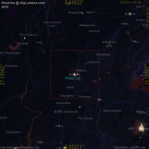
Analysis of Hosa’ina night lights 2016
Square area 10x10 km:
 0%
0%90-99
0%80-89
0%70-79
1.73%60-69
1.73%50-59
0.87%40-49
2.6%30-39
0.87%20-29
1.73%10-19
0.87%0-9
89.61%Square area 50x50 km:
0%90-99
0%80-89
0%70-79
0.07%60-69
0.07%50-59
0.03%40-49
0.13%30-39
0.03%20-29
0.07%10-19
0.03%0-9
99.57%Clear (daylight) street map image can be seen on geolist.org.
Map coordinates:
8° 14' 46.4" North, 37° 9' 2.2" East
7° 32' 59.2" North, 37° 51' 13.5" East
6° 51' 8" North, 38° 33' 24.7" East
Some cities around Hosa’ina sort by population:
• Hawassa
87.5 km =54.4 mi,  128°
128°
• Sodo
77.4 km =48.1 mi,  187°
187°
• Shashemenē
91 km =56.5 mi,  115°
115°
• Āreka
56.3 km =35 mi,  197°
197°
• Bodītī
64.9 km =40.3 mi,  178°
178°
• Butajīra
84.6 km =52.6 mi,  41°
41°
• K’olīto
36.2 km =22.5 mi,  135°
135°
• Leku
99.5 km =61.8 mi, 139°
334609 (p: 75,963)
Sources (retrieved 2019-11-25):
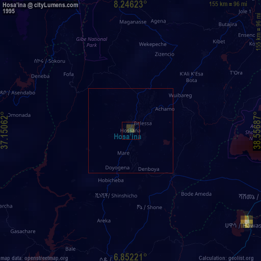
» NASA, Earths city lights 1995
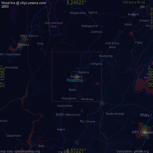
» NASA city lights 2003
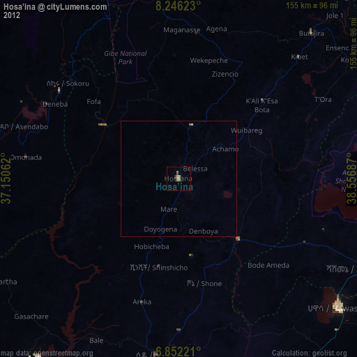
» Earth at Night: Flat Maps 2012, 2016