Sebeta night lights from space
Night Light of Sebeta (Oromiya) from space (Ethiopia) Src. Average luminocity for 10x10km area is 20.0714% and for 50x50km: 14.6764%.
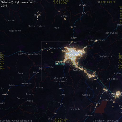
Analysis of Sebeta night lights 2016
Square area 10x10 km:
 0.43%
0.43%90-99
0.43%80-89
2.6%70-79
3.46%60-69
4.11%50-59
1.95%40-49
7.14%30-39
3.03%20-29
8.66%10-19
17.53%0-9
50.65%Square area 50x50 km:
2.08%90-99
2.65%80-89
3.47%70-79
2.44%60-69
1.11%50-59
1.44%40-49
1.96%30-39
1.78%20-29
3.98%10-19
6.12%0-9
72.97%Clear (daylight) street map image can be seen on geolist.org.
Map coordinates:
9° 36' 38.2" North, 37° 54' 48.8" East
8° 55' 0" North, 38° 37' 0" East
8° 13' 17" North, 39° 19' 11.3" East
Some cities around Sebeta sort by population:
• Addis Ababa
18.7 km =11.6 mi,  49°
49°
• Nazrēt
82.3 km =51.1 mi,  119°
119°
• Bishoftu
43.8 km =27.2 mi,  114°
114°
• Mojo
66.5 km =41.3 mi, 123°
• Genet
21 km =13 mi,  322°
322°
• Tulu Bolo
52 km =32.3 mi,  237°
237°
• Ādīs ‘Alem
27.1 km =16.8 mi,  298°
298°
• Sendafa
51.8 km =32.2 mi,  59°
59°
329114 (p: 19,533)
Sources (retrieved 2019-11-25):
» Earth at Night: Flat Maps 2012, 2016