Waliso night lights from space
Night Light of Waliso (Oromiya) from space (Ethiopia) Src. Average luminocity for 10x10km area is 2.2107% and for 50x50km: 0.1483%.
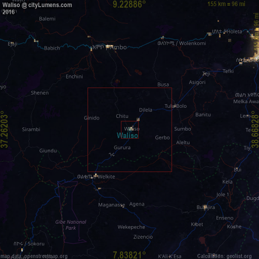
Analysis of Waliso night lights 2016
Square area 10x10 km:
 0%
0%90-99
0%80-89
0%70-79
0.62%60-69
0.21%50-59
0%40-49
0.83%30-39
1.65%20-29
1.65%10-19
0%0-9
95.04%Square area 50x50 km:
0%90-99
0%80-89
0%70-79
0.03%60-69
0.02%50-59
0.03%40-49
0.09%30-39
0.08%20-29
0.1%10-19
0%0-9
99.66%Clear (daylight) street map image can be seen on geolist.org.
Map coordinates:
9° 13' 43.9" North, 37° 15' 43.3" East
8° 32' 3" North, 37° 57' 54.5" East
7° 50' 17.6" North, 38° 40' 5.8" East
Some cities around Waliso sort by population:
• Addis Ababa
101.8 km =63.3 mi,  57°
57°
• Hāgere Hiywet
51.5 km =32 mi,  345°
345°
• Butajīra
64.1 km =39.8 mi,  136°
136°
• Genet
83.4 km =51.8 mi,  44°
44°
• Sebeta
83.3 km =51.8 mi, 59°
• Tulu Bolo
31.3 km =19.4 mi, 61°
• Ādīs ‘Alem
73.2 km =45.5 mi, 40°
• Gēdo
78 km =48.5 mi,  313°
313°
336372 (p: 38,394)
Sources (retrieved 2019-11-25):
» Earth at Night: Flat Maps 2012, 2016