Xàtiva night lights from space
Night Light of Xàtiva (Valencia) from space (Spain) Src. Average luminocity for 10x10km area is 21.9269% and for 50x50km: 12.1585%.
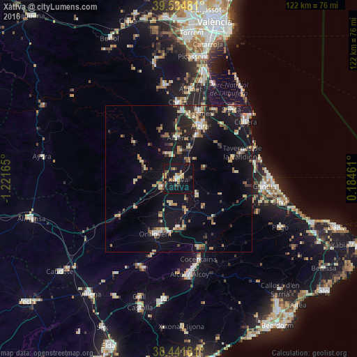
Analysis of Xàtiva night lights 2016
Square area 10x10 km:
 0.65%
0.65%90-99
1.46%80-89
2.44%70-79
5.68%60-69
2.6%50-59
2.76%40-49
2.11%30-39
2.27%20-29
3.41%10-19
44.32%0-9
32.31%Square area 50x50 km:
0.88%90-99
1.41%80-89
1.68%70-79
1.71%60-69
1.6%50-59
1.71%40-49
1.01%30-39
1.96%20-29
2.61%10-19
14.54%0-9
70.88%Clear (daylight) street map image can be seen on geolist.org.
Map coordinates:
39° 32' 5.3" North, 1° 13' 17.9" West
38° 59' 25.5" North, 0° 31' 6.7" West
38° 26' 30.5" North, 0° 11' 4.6" East
Some cities around Xàtiva sort by population:
• Carcaixent
15.8 km =9.8 mi,  22°
22°
• Canals
6.5 km =4 mi,  241°
241°
• Alberic
14 km =8.7 mi,  0°
0°
• L'Olleria
8.6 km =5.3 mi,  198°
198°
• Villanueva de Castellón
9.7 km =6 mi, 3°
• Albaida
17 km =10.6 mi,  179°
179°
• Benigànim
8.6 km =5.3 mi,  121°
121°
• Enguera
14.6 km =9.1 mi,  265°
265°
2516345 (p: 29,386)
Sources (retrieved 2019-11-25):
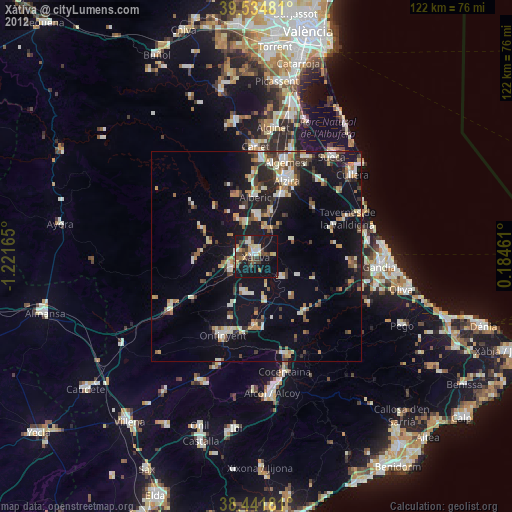
» Earth at Night: Flat Maps 2012, 2016