Carcaixent night lights from space
Night Light of Carcaixent (Valencia) from space (Spain) Src. Average luminocity for 10x10km area is 33.0503% and for 50x50km: 16.6804%.
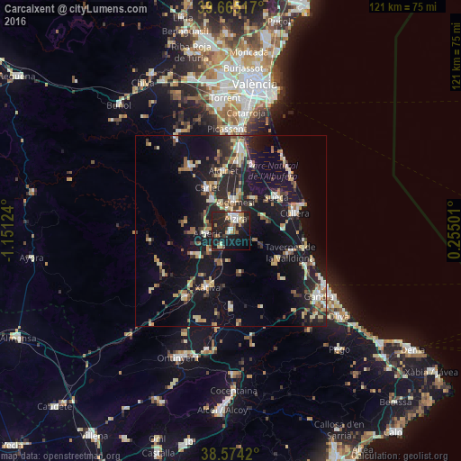
Analysis of Carcaixent night lights 2016
Square area 10x10 km:
 4.38%
4.38%90-99
5.03%80-89
3.73%70-79
4.22%60-69
3.41%50-59
3.9%40-49
1.79%30-39
6.01%20-29
17.21%10-19
37.18%0-9
13.15%Square area 50x50 km:
1.42%90-99
2.11%80-89
2.38%70-79
2.29%60-69
1.84%50-59
2.04%40-49
1.53%30-39
2.9%20-29
5.71%10-19
18.04%0-9
59.74%Clear (daylight) street map image can be seen on geolist.org.
Map coordinates:
39° 39' 54.6" North, 1° 9' 4.5" West
39° 7' 18.5" North, 0° 26' 53.2" West
38° 34' 27.1" North, 0° 15' 18" East
Some cities around Carcaixent sort by population:
• Alzira
3.4 km =2.1 mi,  22°
22°
• Sueca
14.8 km =9.2 mi,  52°
52°
• Algemesí
7.7 km =4.8 mi,  7°
7°
• Carlet
13.3 km =8.3 mi,  331°
331°
• L'Alcúdia
9.7 km =6 mi, 329°
• Alberic
5.9 km =3.7 mi,  264°
264°
• Villanueva de Castellón
7.4 km =4.6 mi,  228°
228°
• Guadassuar
7.7 km =4.8 mi,  339°
339°
2520150 (p: 21,735)
Sources (retrieved 2019-11-25):
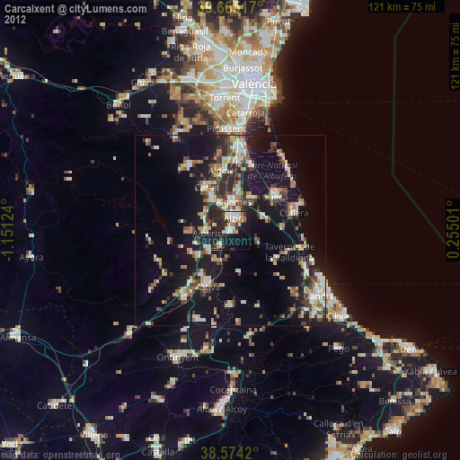
» Earth at Night: Flat Maps 2012, 2016