Enguera night lights from space
Night Light of Enguera (Valencia) from space (Spain) Src. Average luminocity for 10x10km area is 6.8896% and for 50x50km: 8.8376%.
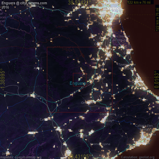
Analysis of Enguera night lights 2016
Square area 10x10 km:
 0%
0%90-99
0.81%80-89
1.95%70-79
1.14%60-69
0.65%50-59
0.49%40-49
0.81%30-39
0.97%20-29
0.97%10-19
0%0-9
92.21%Square area 50x50 km:
0.62%90-99
1.01%80-89
1.26%70-79
1.3%60-69
1.12%50-59
1.32%40-49
0.73%30-39
1.46%20-29
2.07%10-19
9.09%0-9
80.03%Clear (daylight) street map image can be seen on geolist.org.
Map coordinates:
39° 31' 27.2" North, 1° 23' 23.8" West
38° 58' 47.1" North, 0° 41' 12.6" West
38° 25' 51.8" North, 0° 0' 58.7" East
Some cities around Enguera sort by population:
• Ontinyent
18.9 km =11.7 mi,  158°
158°
• Xàtiva
14.6 km =9.1 mi,  85°
85°
• Canals
9.1 km =5.7 mi,  102°
102°
• Alberic
21.2 km =13.2 mi,  43°
43°
• L'Olleria
13.8 km =8.6 mi,  120°
120°
• Villanueva de Castellón
18.6 km =11.6 mi,  54°
54°
• Albaida
21.5 km =13.4 mi,  137°
137°
• Benigànim
22.2 km =13.8 mi, 98°
2518011 (p: 5,484)
Sources (retrieved 2019-11-25):
» Earth at Night: Flat Maps 2012, 2016