Viladecans night lights from space
Night Light of Viladecans (Catalonia) from space (Spain) Src. Average luminocity for 10x10km area is 77.6395% and for 50x50km: 36.0447%.
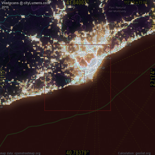
Analysis of Viladecans night lights 2016
Square area 10x10 km:
 22.96%
90-99
20.41%80-89
5.44%70-79
11.56%60-69
17.18%50-59
12.07%40-49
3.23%30-39
6.29%20-29
0.85%10-19
0%0-9
0%Square area 50x50 km:
9.44%90-99
8%80-89
3.5%70-79
4.12%60-69
6.25%50-59
4.84%40-49
3.01%30-39
3.28%20-29
7.53%10-19
9.77%0-9
40.26%Clear (daylight) street map image can be seen on geolist.org.
Map coordinates:
41° 50' 24.1" North, 1° 18' 40.1" East
41° 18' 50.6" North, 2° 0' 51.4" East
40° 47' 1.6" North, 2° 43' 2.6" East
Some cities around Viladecans sort by population:
• Cornellà de Llobregat
7 km =4.3 mi,  55°
55°
• Sant Boi de Llobregat
3.8 km =2.4 mi,  29°
29°
• El Prat de Llobregat
6.9 km =4.3 mi,  77°
77°
• Castelldefels
5.4 km =3.4 mi,  222°
222°
• Gavà
1.4 km =0.9 mi,  230°
230°
• Sant Joan Despí
6.9 km =4.3 mi, 31°
• Santa Coloma de Cervelló
5.9 km =3.7 mi,  359°
359°
• Begues
7.1 km =4.4 mi,  287°
287°
3105935 (p: 63,489)
Sources (retrieved 2019-11-25):
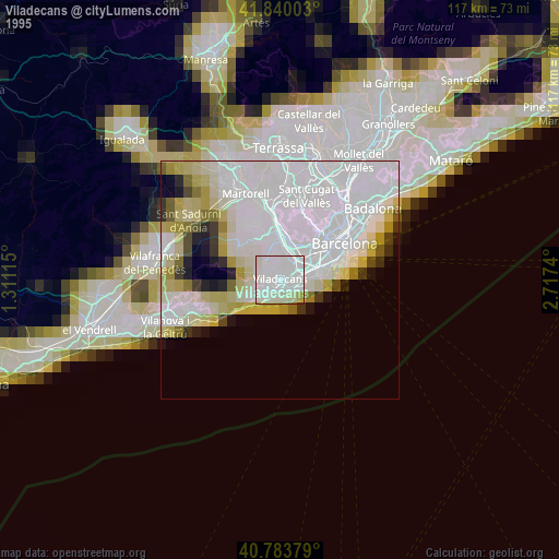
» NASA, Earths city lights 1995
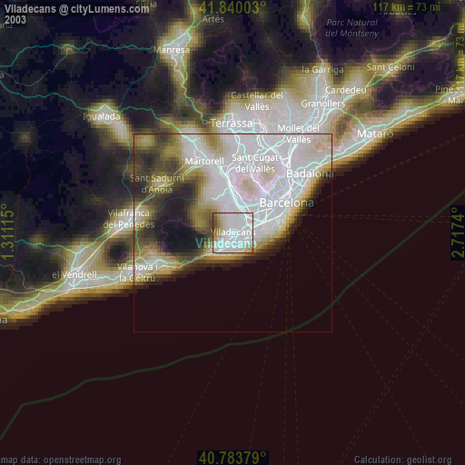
» NASA city lights 2003
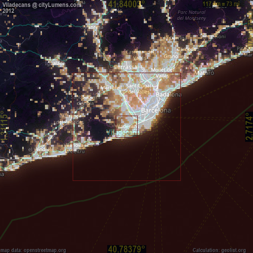
» Earth at Night: Flat Maps 2012, 2016