Gavà night lights from space
Night Light of Gavà (Catalonia) from space (Spain) Src. Average luminocity for 10x10km area is 70.7938% and for 50x50km: 34.8009%.
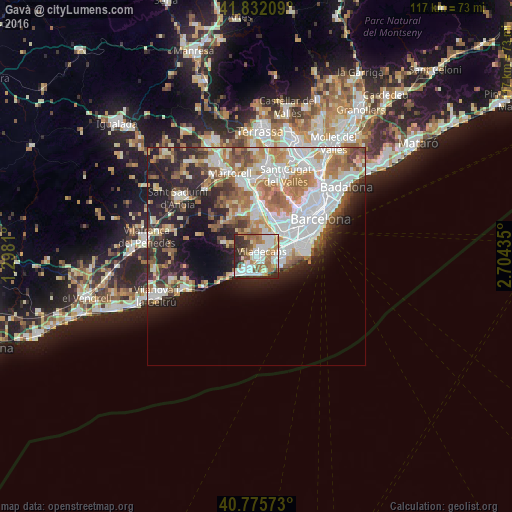
Analysis of Gavà night lights 2016
Square area 10x10 km:
 20.45%
90-99
18.02%80-89
5.19%70-79
8.6%60-69
13.8%50-59
10.23%40-49
4.06%30-39
7.31%20-29
12.18%10-19
0.16%0-9
0%Square area 50x50 km:
8.95%90-99
7.64%80-89
3.39%70-79
3.97%60-69
6.03%50-59
4.75%40-49
2.94%30-39
3.16%20-29
7.65%10-19
10.03%0-9
41.49%Clear (daylight) street map image can be seen on geolist.org.
Map coordinates:
41° 49' 55.5" North, 1° 17' 53.2" East
41° 18' 21.8" North, 2° 0' 4.4" East
40° 46' 32.6" North, 2° 42' 15.7" East
Some cities around Gavà sort by population:
• Cornellà de Llobregat
8.4 km =5.2 mi,  54°
54°
• Sant Boi de Llobregat
5.1 km =3.2 mi,  35°
35°
• Viladecans
1.4 km =0.9 mi, 50°
• El Prat de Llobregat
8.2 km =5.1 mi,  72°
72°
• Castelldefels
4.1 km =2.5 mi,  219°
219°
• Sant Joan Despí
8.3 km =5.2 mi,  34°
34°
• Santa Coloma de Cervelló
6.9 km =4.3 mi,  9°
9°
• Begues
6.4 km =4 mi,  298°
298°
3121519 (p: 45,994)
Sources (retrieved 2019-11-25):
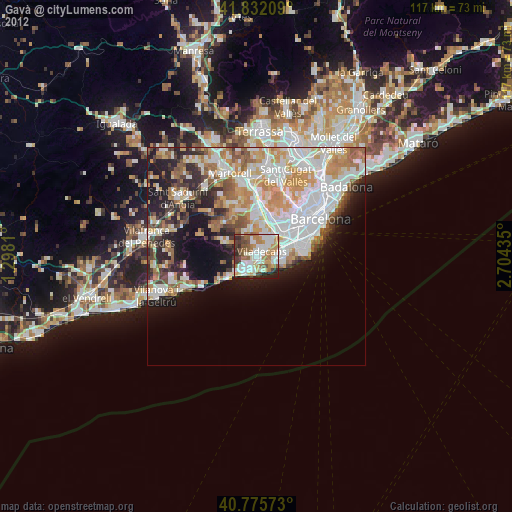
» Earth at Night: Flat Maps 2012, 2016