Sants-Montjuïc night lights from space
Night Light of Sants-Montjuïc (Catalonia) from space (Spain) Src. Average luminocity for 10x10km area is 90.0102% and for 50x50km: 40.1708%.
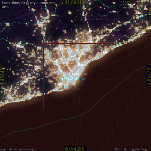
Analysis of Sants-Montjuïc night lights 2016
Square area 10x10 km:
 57.48%
90-99
23.3%80-89
1.53%70-79
1.7%60-69
0.85%50-59
6.46%40-49
3.91%30-39
1.36%20-29
2.89%10-19
0.51%0-9
0%Square area 50x50 km:
11.33%90-99
9.89%80-89
3.74%70-79
4.74%60-69
6.86%50-59
5.15%40-49
3.06%30-39
3.39%20-29
6.28%10-19
5.97%0-9
39.58%Clear (daylight) street map image can be seen on geolist.org.
Map coordinates:
41° 53' 53.3" North, 1° 27' 5.3" East
41° 22' 21.5" North, 2° 9' 16.6" East
40° 50' 34.3" North, 2° 51' 27.8" East
Some cities around Sants-Montjuïc sort by population:
• Barcelona
1.8 km =1.1 mi,  11°
11°
• la Nova Esquerra de l'Eixample
1.3 km =0.8 mi,  338°
338°
• el Raval
1.5 km =0.9 mi,  53°
53°
• Poble Sec
0.8 km =0.5 mi,  73°
73°
• Sant Antoni
0.8 km =0.5 mi,  31°
31°
• La Bordeta
0.9 km =0.6 mi,  279°
279°
• Hostafrancs
1.1 km =0.7 mi,  296°
296°
• la Font de la Guatlla
0.9 km =0.6 mi,  248°
248°
6544104 (p: 183,120)
Sources (retrieved 2019-11-25):
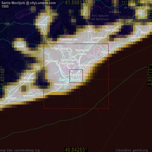
» NASA, Earths city lights 1995
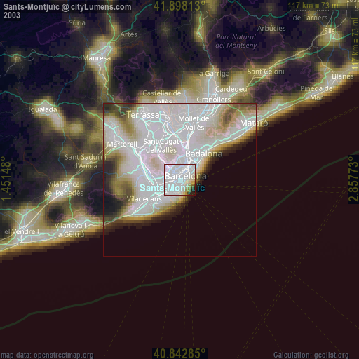
» NASA city lights 2003
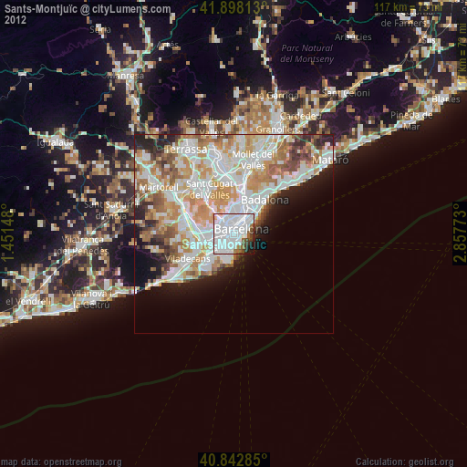
» Earth at Night: Flat Maps 2012, 2016