el Raval night lights from space
Night Light of el Raval (Catalonia) from space (Spain) Src. Average luminocity for 10x10km area is 84.2313% and for 50x50km: 40.1502%.
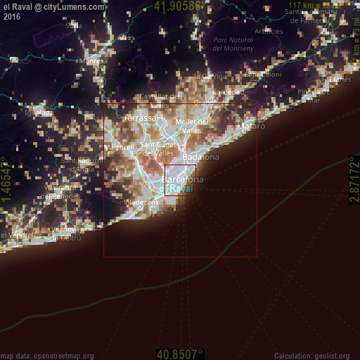
Analysis of el Raval night lights 2016
Square area 10x10 km:
 53.23%
90-99
20.24%80-89
0.68%70-79
1.36%60-69
0.51%50-59
7.65%40-49
5.27%30-39
2.89%20-29
5.27%10-19
2.89%0-9
0%Square area 50x50 km:
11.29%90-99
9.96%80-89
3.72%70-79
4.67%60-69
6.96%50-59
5.15%40-49
3.05%30-39
3.43%20-29
6.4%10-19
5.7%0-9
39.67%Clear (daylight) street map image can be seen on geolist.org.
Map coordinates:
41° 54' 21.1" North, 1° 27' 55.7" East
41° 22' 49.5" North, 2° 10' 7" East
40° 51' 2.5" North, 2° 52' 18.2" East
Some cities around el Raval sort by population:
• Barcelona
1.2 km =0.7 mi,  319°
319°
• Eixample
1.1 km =0.7 mi,  329°
329°
• Sants-Montjuïc
1.5 km =0.9 mi,  233°
233°
• Ciutat Vella
0.4 km =0.2 mi,  93°
93°
• Poble Sec
0.8 km =0.5 mi,  214°
214°
• Sant Antoni
0.8 km =0.5 mi,  255°
255°
• Sant Pere, Santa Caterina i La Ribera
1.2 km =0.7 mi,  67°
67°
• Barri Gòtic
0.7 km =0.4 mi,  60°
60°
3123673 (p: 48,403)
Sources (retrieved 2019-11-25):
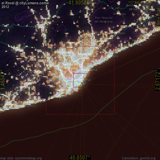
» Earth at Night: Flat Maps 2012, 2016