Sant Antoni night lights from space
Night Light of Sant Antoni (Catalonia) from space (Spain) Src. Average luminocity for 10x10km area is 88.131% and for 50x50km: 40.4391%.
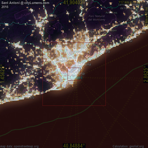
Analysis of Sant Antoni night lights 2016
Square area 10x10 km:
 57.14%
90-99
21.77%80-89
1.02%70-79
1.36%60-69
0.51%50-59
6.63%40-49
4.25%30-39
2.21%20-29
3.91%10-19
1.19%0-9
0%Square area 50x50 km:
11.36%90-99
10%80-89
3.72%70-79
4.77%60-69
6.96%50-59
5.21%40-49
3.13%30-39
3.43%20-29
6.4%10-19
5.85%0-9
39.17%Clear (daylight) street map image can be seen on geolist.org.
Map coordinates:
41° 54' 14.5" North, 1° 27' 22.5" East
41° 22' 42.9" North, 2° 9' 33.7" East
40° 50' 55.8" North, 2° 51' 45" East
Some cities around Sant Antoni sort by population:
• Barcelona
1.1 km =0.7 mi,  358°
358°
• Eixample
1.2 km =0.7 mi,  9°
9°
• Sants-Montjuïc
0.8 km =0.5 mi,  211°
211°
• Ciutat Vella
1.2 km =0.7 mi,  80°
80°
• la Nova Esquerra de l'Eixample
1 km =0.6 mi,  300°
300°
• el Raval
0.8 km =0.5 mi, 75°
• l'Antiga Esquerra de l'Eixample
1.3 km =0.8 mi,  343°
343°
• Poble Sec
0.6 km =0.4 mi,  144°
144°
11549779 (p: 38,512)
Sources (retrieved 2019-11-25):
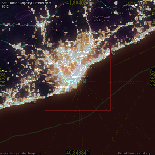
» Earth at Night: Flat Maps 2012, 2016