Poble Sec night lights from space
Night Light of Poble Sec (Catalonia) from space (Spain) Src. Average luminocity for 10x10km area is 86.8146% and for 50x50km: 39.9319%.
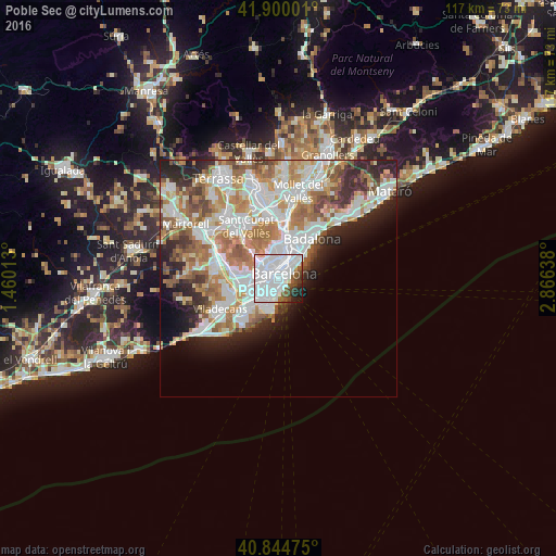
Analysis of Poble Sec night lights 2016
Square area 10x10 km:
 55.44%
90-99
21.94%80-89
0.85%70-79
0.68%60-69
0.51%50-59
7.48%40-49
4.76%30-39
2.21%20-29
4.25%10-19
1.87%0-9
0%Square area 50x50 km:
11.29%90-99
9.92%80-89
3.69%70-79
4.71%60-69
6.83%50-59
5.05%40-49
3.03%30-39
3.34%20-29
6.27%10-19
5.76%0-9
40.11%Clear (daylight) street map image can be seen on geolist.org.
Map coordinates:
41° 54' 0" North, 1° 27' 36.5" East
41° 22' 28.3" North, 2° 9' 47.7" East
40° 50' 41.1" North, 2° 51' 59" East
Some cities around Poble Sec sort by population:
• Sants-Montjuïc
0.8 km =0.5 mi,  253°
253°
• Ciutat Vella
1 km =0.6 mi,  52°
52°
• la Nova Esquerra de l'Eixample
1.5 km =0.9 mi,  308°
308°
• el Raval
0.8 km =0.5 mi,  34°
34°
• Sant Antoni
0.6 km =0.4 mi,  324°
324°
• La Bordeta
1.6 km =1 mi,  267°
267°
• Barri Gòtic
1.5 km =0.9 mi, 46°
• la Font de la Guatlla
1.6 km =1 mi, 251°
6545103 (p: 40,906)
Sources (retrieved 2019-11-25):
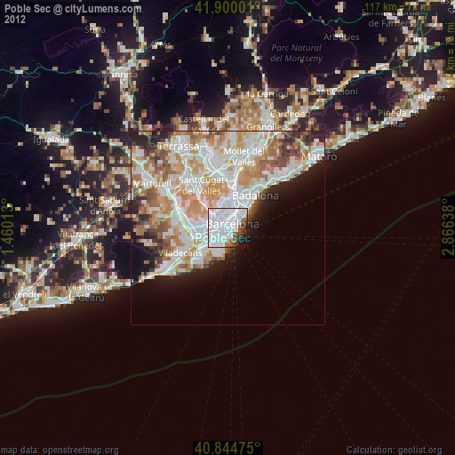
» Earth at Night: Flat Maps 2012, 2016