Retiro night lights from space
Night Light of Retiro (Madrid) from space (Spain) Src. Average luminocity for 10x10km area is 99.4303% and for 50x50km: 56.7249%.
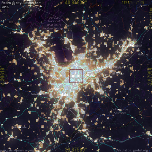

Analysis of Retiro night lights 2016
Square area 10x10 km:
 77.72%
90-99
21.09%80-89
0.85%70-79
0.34%60-69
0%50-59
0%40-49
0%30-39
0%20-29
0%10-19
0%0-9
0%Square area 50x50 km:
16.18%90-99
14.41%80-89
5.01%70-79
6.62%60-69
6.34%50-59
6%40-49
5.76%30-39
7.63%20-29
11.79%10-19
10.99%0-9
9.25%Clear (daylight) street map image can be seen on geolist.org.
Map coordinates:
40° 56' 47" North, 4° 23' 10.3" West
40° 24' 47.4" North, 3° 40' 59.1" West
39° 52' 32.5" North, 2° 58' 47.8" West
Some cities around Retiro sort by population:
• Madrid
1.7 km =1.1 mi,  282°
282°
• Puente de Vallecas
2.8 km =1.7 mi,  140°
140°
• City Center
1.8 km =1.1 mi,  288°
288°
• Arganzuela
1.8 km =1.1 mi,  217°
217°
• Salamanca
1.9 km =1.2 mi,  8°
8°
• Chamberí
2.9 km =1.8 mi,  322°
322°
• Usera
3.1 km =1.9 mi,  208°
208°
• Moratalaz
2.9 km =1.8 mi,  102°
102°
6544495 (p: 126,058)
Sources (retrieved 2019-11-25):
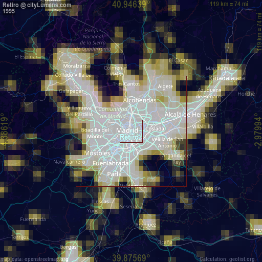
» NASA, Earths city lights 1995
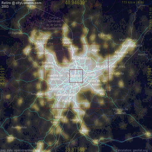
» NASA city lights 2003
» Earth at Night: Flat Maps 2012, 2016