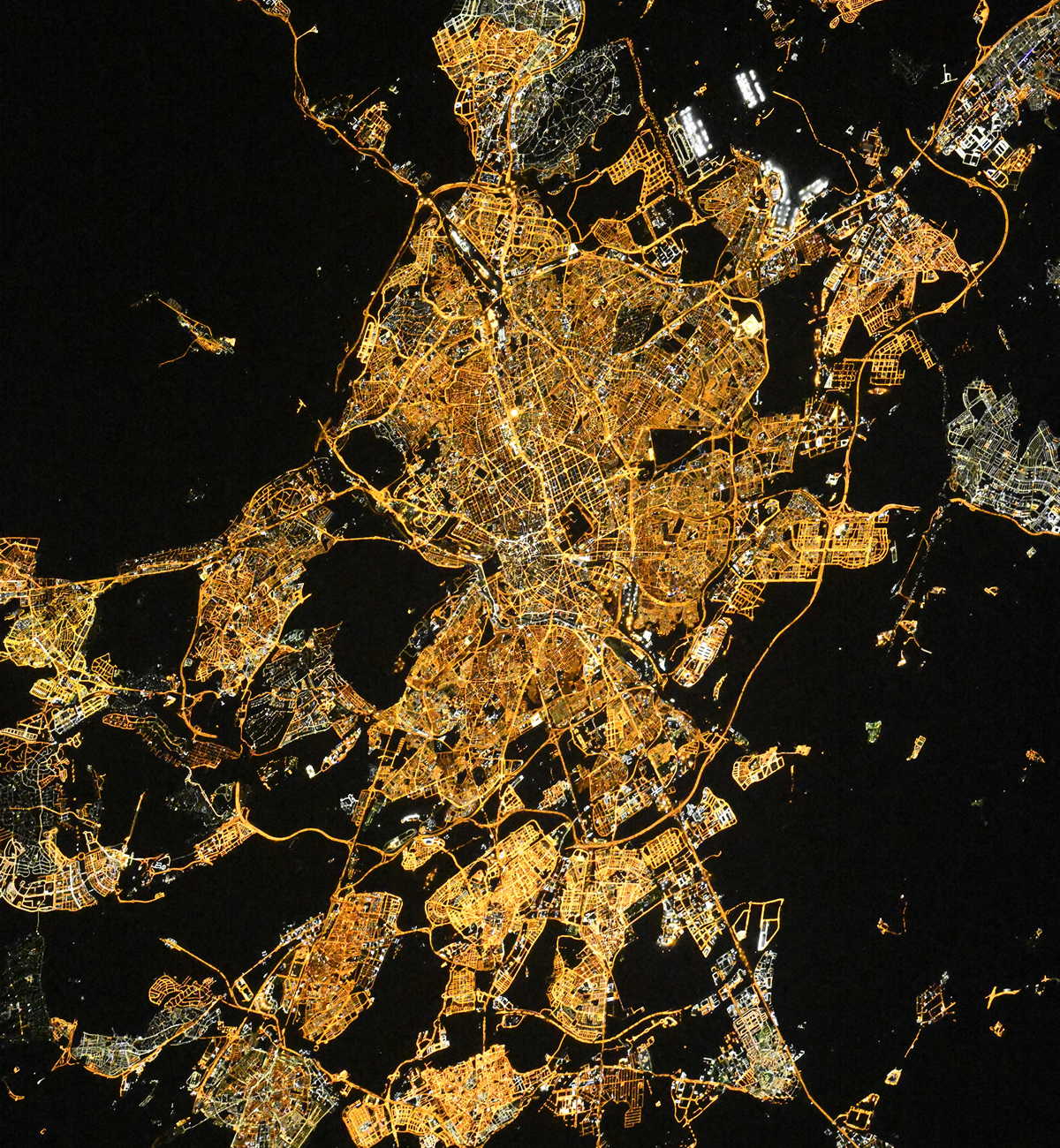
Madrid night lights from space
Night Light of Madrid from space (Spain) Src. Average luminocity for 10x10km area is 97.9371% and for 50x50km: 56.8742%.
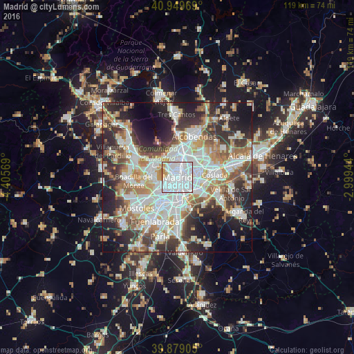
Analysis of Madrid night lights 2016
Square area 10x10 km:
 71.94%
90-99
21.26%80-89
0.68%70-79
5.44%60-69
0.68%50-59
0%40-49
0%30-39
0%20-29
0%10-19
0%0-9
0%Square area 50x50 km:
16.02%90-99
14.37%80-89
5.15%70-79
6.79%60-69
6.52%50-59
5.98%40-49
5.65%30-39
7.48%20-29
12.09%10-19
11.44%0-9
8.51%Clear (daylight) street map image can be seen on geolist.org.
Map coordinates:
40° 56' 58.9" North, 4° 24' 20.5" West
40° 24' 59.4" North, 3° 42' 9.2" West
39° 52' 44.6" North, 2° 59' 58" West
Fantastic image of Madrid from space taken by astronauts [src2], but I don't have information about it's orientation, scale or angle. If necessary, it was rotated manually, so North points approximately to upper direction. Click to zoom in:
Some cities around Madrid sort by population:
• Carabanchel
3.4 km =2.1 mi,  212°
212°
• City Center
0.2 km =0.1 mi,  355°
355°
• Arganzuela
1.9 km =1.2 mi,  163°
163°
• Salamanca
2.4 km =1.5 mi,  52°
52°
• ChamberÃ
2 km =1.2 mi, 356°
• Usera
3.1 km =1.9 mi,  176°
176°
• Retiro
1.7 km =1.1 mi,  102°
102°
• Moncloa-Aravaca
3.2 km =2 mi,  310°
310°
3117735 (p: 3,255,944)
Sources (retrieved 2019-11-25):
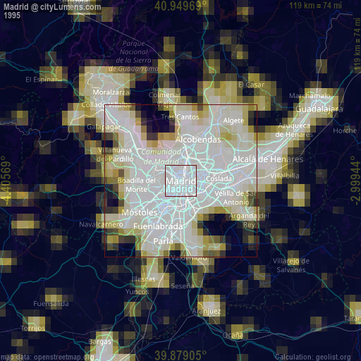
» NASA, Earths city lights 1995
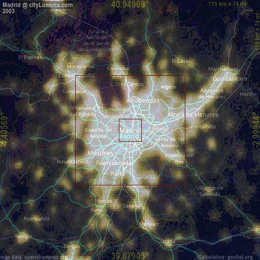
» NASA city lights 2003
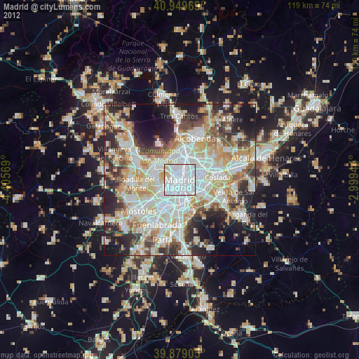
» Earth at Night: Flat Maps 2012, 2016
Src.2: picture by Oleg Kononenko, Roscosmos, retrieved 2019-11-29