Puente-Genil night lights from space
Night Light of Puente-Genil (Andalusia) from space (Spain) Src. Average luminocity for 10x10km area is 23.3799% and for 50x50km: 6.9414%.
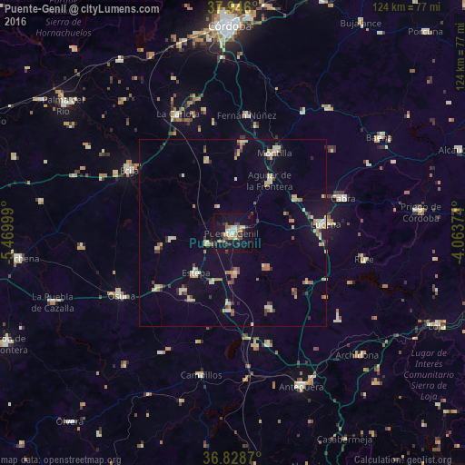
Analysis of Puente-Genil night lights 2016
Square area 10x10 km:
 1.79%
1.79%90-99
2.11%80-89
4.71%70-79
2.11%60-69
4.38%50-59
2.27%40-49
2.27%30-39
6.49%20-29
2.6%10-19
28.73%0-9
42.53%Square area 50x50 km:
0.53%90-99
0.75%80-89
1.4%70-79
0.76%60-69
1.24%50-59
0.5%40-49
0.63%30-39
1.02%20-29
0.67%10-19
2.99%0-9
89.51%Clear (daylight) street map image can be seen on geolist.org.
Map coordinates:
37° 56' 45.6" North, 5° 28' 12" West
37° 23' 21.9" North, 4° 46' 0.7" West
36° 49' 43.3" North, 4° 3' 49.5" West
Some cities around Puente-Genil sort by population:
• Aguilar
17 km =10.6 mi,  34°
34°
• Estepa
14.6 km =9.1 mi,  222°
222°
• La Rambla
24.4 km =15.2 mi,  5°
5°
• Herrera
7.9 km =4.9 mi,  248°
248°
• Santaella
20.4 km =12.7 mi,  340°
340°
• Casariche
10.6 km =6.6 mi,  176°
176°
• Alameda
22.3 km =13.9 mi,  154°
154°
• Pedrera
21.4 km =13.3 mi,  211°
211°
2512232 (p: 30,033)
Sources (retrieved 2019-11-25):
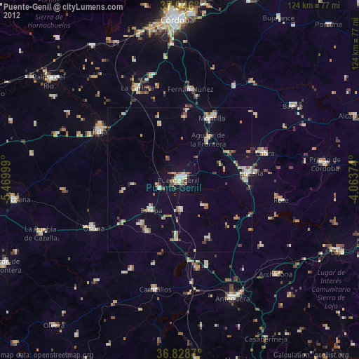
» Earth at Night: Flat Maps 2012, 2016