Narón night lights from space
Night Light of Narón (Galicia) from space (Spain) Src. Average luminocity for 10x10km area is 66.6921% and for 50x50km: 16.724%.
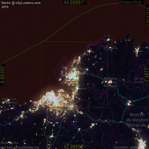
Analysis of Narón night lights 2016
Square area 10x10 km:
100  16.19%
90-99 19.37%
80-89 6.67%
70-79 6.19%
60-69 6.35%
50-59 11.43%
40-49 12.38%
30-39 7.94%
20-29 11.11%
10-19 2.38%
0-9 0%
16.19%90-99
19.37%80-89
6.67%70-79
6.19%60-69
6.35%50-59
11.43%40-49
12.38%30-39
7.94%20-29
11.11%10-19
2.38%0-9
0%Square area 50x50 km:
100 2.76%
90-99 3.33%
80-89 1.46%
70-79 1.69%
60-69 2.53%
50-59 2.92%
40-49 3.02%
30-39 2.61%
20-29 5.46%
10-19 6.32%
0-9 67.9%
2.76%90-99
3.33%80-89
1.46%70-79
1.69%60-69
2.53%50-59
2.92%40-49
3.02%30-39
2.61%20-29
5.46%10-19
6.32%0-9
67.9%Clear (daylight) street map image can be seen on geolist.org.
Map coordinates:
44° 0' 34.6" North, 8° 53' 38.2" West
43° 30' 6.3" North, 8° 11' 27" West
42° 59' 22.5" North, 7° 29' 15.7" West
Some cities around Narón sort by population:
• Ferrol
2.7 km =1.7 mi,  239°
239°
• Sada
17.1 km =10.6 mi,  198°
198°
• Fene
6.6 km =4.1 mi,  150°
150°
• Cedeira
20.7 km =12.9 mi,  31°
31°
• Valdoviño
11.9 km =7.4 mi,  22°
22°
• Mugardos
6.9 km =4.3 mi,  228°
228°
• Ares
9 km =5.6 mi,  207°
207°
• Miño
16.9 km =10.5 mi,  182°
182°
3115739 (p: 37,712)
Sources (retrieved 2019-11-25):
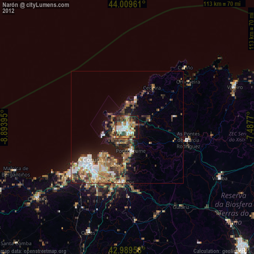
» Earth at Night: Flat Maps 2012, 2016