Mugia night lights from space
Night Light of Mugia (Galicia) from space (Spain) Src. Average luminocity for 10x10km area is 5.7318% and for 50x50km: 1.9559%.
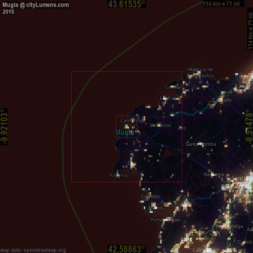
Analysis of Mugia night lights 2016
Square area 10x10 km:
 0%
0%90-99
0%80-89
0.61%70-79
1.67%60-69
0.15%50-59
1.82%40-49
1.52%30-39
1.36%20-29
2.42%10-19
1.06%0-9
89.39%Square area 50x50 km:
0.03%90-99
0.19%80-89
0.18%70-79
0.24%60-69
0.14%50-59
0.36%40-49
0.44%30-39
0.47%20-29
1.12%10-19
0.3%0-9
96.52%Clear (daylight) street map image can be seen on geolist.org.
Map coordinates:
43° 36' 55.3" North, 9° 55' 15.7" West
43° 6' 14.9" North, 9° 13' 4.5" West
42° 35' 19.1" North, 8° 30' 53.2" West
Some cities around Mugia sort by population:
• Santa Comba
34.1 km =21.2 mi,  103°
103°
• Muros
38.7 km =24 mi,  160°
160°
• Outes
37.2 km =23.1 mi,  136°
136°
• Cee
16.8 km =10.4 mi,  171°
171°
• Camariñas
4.2 km =2.6 mi,  44°
44°
• Mazaricos
27.1 km =16.8 mi,  132°
132°
• Carnota
32.9 km =20.4 mi, 161°
• Fisterra
22.5 km =14 mi,  189°
189°
3115941 (p: 5,423)
Sources (retrieved 2019-11-25):
» Earth at Night: Flat Maps 2012, 2016