Reinosa night lights from space
Night Light of Reinosa (Cantabria) from space (Spain) Src. Average luminocity for 10x10km area is 11.7317% and for 50x50km: 1.3461%.
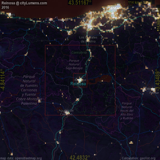
Analysis of Reinosa night lights 2016
Square area 10x10 km:
 1.9%
1.9%90-99
2.54%80-89
1.11%70-79
0.79%60-69
0.16%50-59
2.86%40-49
1.75%30-39
0.95%20-29
1.27%10-19
0.16%0-9
86.51%Square area 50x50 km:
0.13%90-99
0.17%80-89
0.11%70-79
0.12%60-69
0.18%50-59
0.29%40-49
0.27%30-39
0.27%20-29
0.35%10-19
0.2%0-9
97.9%Clear (daylight) street map image can be seen on geolist.org.
Map coordinates:
43° 30' 42" North, 4° 50' 28.1" West
42° 59' 58.5" North, 4° 8' 16.8" West
42° 28' 59.5" North, 3° 26' 5.6" West
Some cities around Reinosa sort by population:
• Torrelavega
39.6 km =24.6 mi,  10°
10°
• Camargo
49.8 km =30.9 mi,  24°
24°
• Los Corrales de Buelna
29.8 km =18.5 mi, 10°
• Cabezón de la Sal
35.2 km =21.9 mi,  346°
346°
• Aguilar de Campoo
24.8 km =15.4 mi,  203°
203°
• Reocín
37.9 km =23.5 mi, 5°
• Suances
48.8 km =30.3 mi, 9°
• Santa María de Cayón
42.2 km =26.2 mi,  35°
35°
3112075 (p: 10,307)
Sources (retrieved 2019-11-25):
» Earth at Night: Flat Maps 2012, 2016