Ontinyent night lights from space
Night Light of Ontinyent (Valencia) from space (Spain) Src. Average luminocity for 10x10km area is 21.699% and for 50x50km: 9.0138%.
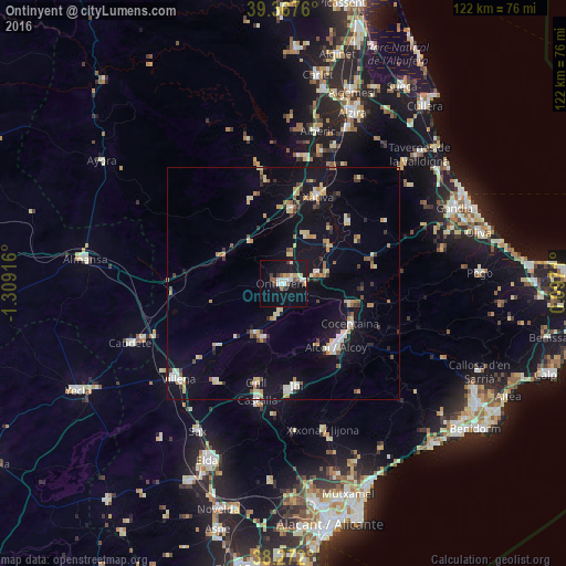
Analysis of Ontinyent night lights 2016
Square area 10x10 km:
 3.57%
3.57%90-99
4.59%80-89
2.04%70-79
1.02%60-69
1.7%50-59
3.57%40-49
1.19%30-39
2.72%20-29
0%10-19
33.67%0-9
45.92%Square area 50x50 km:
0.83%90-99
1.23%80-89
1.4%70-79
1.17%60-69
1.05%50-59
0.87%40-49
0.62%30-39
1.1%20-29
1.03%10-19
8.07%0-9
82.64%Clear (daylight) street map image can be seen on geolist.org.
Map coordinates:
39° 22' 3.4" North, 1° 18' 33" West
38° 49' 18.9" North, 0° 36' 21.7" West
38° 16' 19.2" North, 0° 5' 49.6" East
Some cities around Ontinyent sort by population:
• Alcoy
17.3 km =10.7 mi,  138°
138°
• Xàtiva
20.2 km =12.6 mi,  22°
22°
• Canals
15.7 km =9.8 mi,  6°
6°
• Cocentaina
17.1 km =10.6 mi,  122°
122°
• Muro del Alcoy
15.4 km =9.6 mi,  107°
107°
• L'Olleria
11.6 km =7.2 mi, 24°
• Albaida
7.9 km =4.9 mi,  76°
76°
• Enguera
18.9 km =11.7 mi,  338°
338°
2513106 (p: 37,735)
Sources (retrieved 2019-11-25):
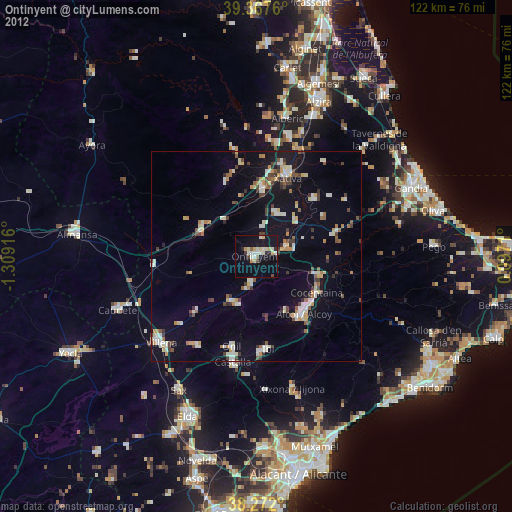
» Earth at Night: Flat Maps 2012, 2016