El Campello night lights from space
Night Light of El Campello (Valencia) from space (Spain) Src. Average luminocity for 10x10km area is 46.6705% and for 50x50km: 17.7532%.
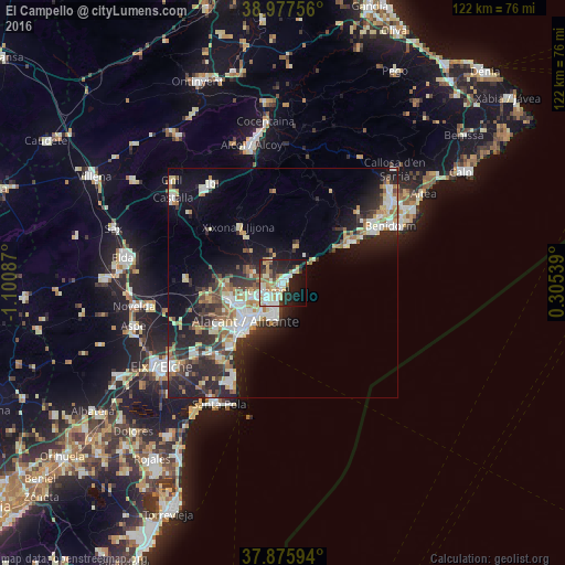
Analysis of El Campello night lights 2016
Square area 10x10 km:
 8.77%
8.77%90-99
11.04%80-89
8.6%70-79
4.71%60-69
5.68%50-59
4.38%40-49
2.44%30-39
2.6%20-29
18.02%10-19
22.56%0-9
11.2%Square area 50x50 km:
3%90-99
3.21%80-89
2.22%70-79
1.88%60-69
2.23%50-59
1.9%40-49
1.85%30-39
3.05%20-29
6.93%10-19
9.84%0-9
63.88%Clear (daylight) street map image can be seen on geolist.org.
Map coordinates:
38° 58' 39.2" North, 1° 6' 3.1" West
38° 25' 43.9" North, 0° 23' 51.9" West
37° 52' 33.4" North, 0° 18' 19.4" East
Some cities around El Campello sort by population:
• Alicante
11.8 km =7.3 mi,  218°
218°
• Benidorm
26.2 km =16.3 mi,  62°
62°
• San Vicent del Raspeig
11.7 km =7.3 mi,  252°
252°
• Villajoyosa
16.8 km =10.4 mi, 58°
• Ibi
26.6 km =16.5 mi,  325°
325°
• Mutxamel
4.4 km =2.7 mi, 250°
• San Juan de Alicante
4.5 km =2.8 mi,  227°
227°
• Jijona
15.4 km =9.6 mi,  323°
323°
2520447 (p: 26,511)
Sources (retrieved 2019-11-25):
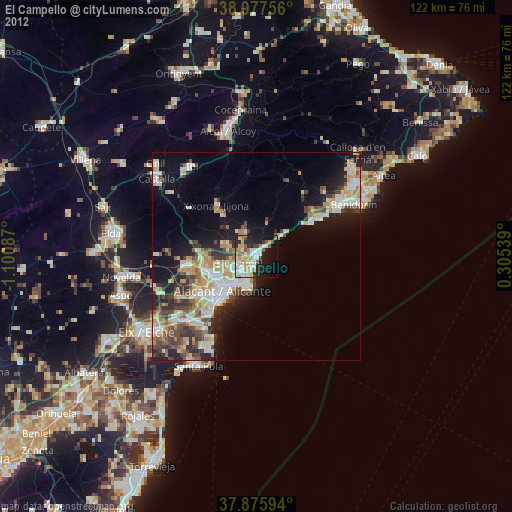
» Earth at Night: Flat Maps 2012, 2016