Mutxamel night lights from space
Night Light of Mutxamel (Valencia) from space (Spain) Src. Average luminocity for 10x10km area is 67.4367% and for 50x50km: 18.0508%.
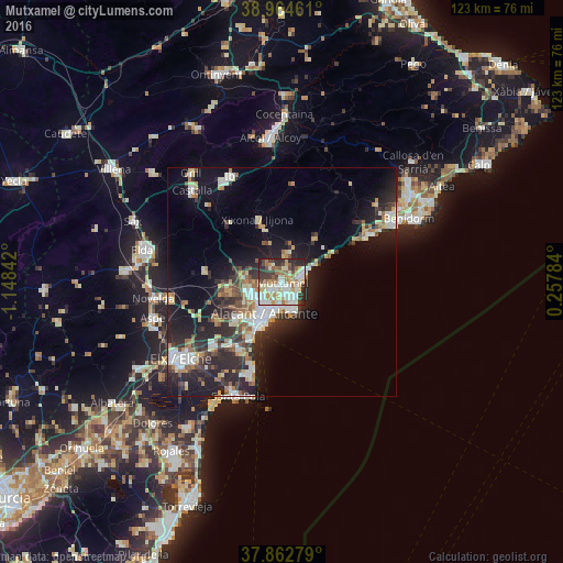
Analysis of Mutxamel night lights 2016
Square area 10x10 km:
 13.96%
90-99
18.34%80-89
12.18%70-79
7.79%60-69
9.58%50-59
7.79%40-49
4.55%30-39
10.23%20-29
14.29%10-19
1.3%0-9
0%Square area 50x50 km:
2.94%90-99
3.28%80-89
2.17%70-79
1.83%60-69
2.16%50-59
1.89%40-49
1.95%30-39
3.09%20-29
7.25%10-19
11.52%0-9
61.94%Clear (daylight) street map image can be seen on geolist.org.
Map coordinates:
38° 57' 52.6" North, 1° 8' 54.3" West
38° 24' 56.9" North, 0° 26' 43" West
37° 51' 46" North, 0° 15' 28.2" East
Some cities around Mutxamel sort by population:
• Alicante
8.5 km =5.3 mi,  201°
201°
• San Vicent del Raspeig
7.3 km =4.5 mi,  252°
252°
• Villajoyosa
21.1 km =13.1 mi,  61°
61°
• El Campello
4.4 km =2.7 mi,  70°
70°
• Ibi
25.8 km =16 mi,  334°
334°
• San Juan de Alicante
1.8 km =1.1 mi,  153°
153°
• Jijona
14.8 km =9.2 mi,  340°
340°
• Monforte del Cid
25 km =15.5 mi,  260°
260°
2513465 (p: 22,510)
Sources (retrieved 2019-11-25):
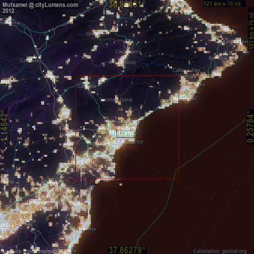
» Earth at Night: Flat Maps 2012, 2016