San Vicent del Raspeig night lights from space
Night Light of San Vicent del Raspeig (Valencia) from space (Spain) Src. Average luminocity for 10x10km area is 65.6905% and for 50x50km: 20.7603%.
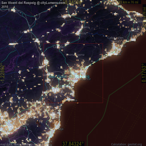
Analysis of San Vicent del Raspeig night lights 2016
Square area 10x10 km:
 15.31%
90-99
14.12%80-89
7.31%70-79
6.97%60-69
9.69%50-59
14.97%40-49
10.03%30-39
11.22%20-29
8.33%10-19
2.04%0-9
0%Square area 50x50 km:
3.27%90-99
3.72%80-89
2.51%70-79
2.15%60-69
2.37%50-59
2.31%40-49
2.15%30-39
3.28%20-29
8.44%10-19
16.02%0-9
53.79%Clear (daylight) street map image can be seen on geolist.org.
Map coordinates:
38° 56' 43.3" North, 1° 13' 43" West
38° 23' 47" North, 0° 31' 31.8" West
37° 50' 35.7" North, 0° 10' 39.5" East
Some cities around San Vicent del Raspeig sort by population:
• Alicante
6.9 km =4.3 mi,  146°
146°
• Elche
21.4 km =13.3 mi,  225°
225°
• Novelda
21.1 km =13.1 mi,  266°
266°
• El Campello
11.7 km =7.3 mi,  72°
72°
• Mutxamel
7.3 km =4.5 mi, 72°
• San Juan de Alicante
7.8 km =4.8 mi,  85°
85°
• Jijona
16.2 km =10.1 mi,  7°
7°
• Monforte del Cid
17.8 km =11.1 mi,  264°
264°
2511032 (p: 53,126)
Sources (retrieved 2019-11-25):
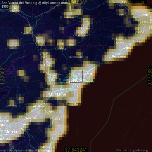
» NASA, Earths city lights 1995
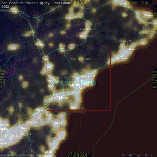
» NASA city lights 2003
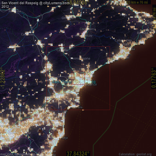
» Earth at Night: Flat Maps 2012, 2016