Benidorm night lights from space
Night Light of Benidorm (Valencia) from space (Spain) Src. Average luminocity for 10x10km area is 54.164% and for 50x50km: 9.7099%.
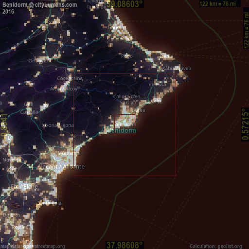
Analysis of Benidorm night lights 2016
Square area 10x10 km:
 14.45%
90-99
12.66%80-89
7.63%70-79
7.31%60-69
6.17%50-59
2.76%40-49
1.3%30-39
5.36%20-29
19.16%10-19
18.83%0-9
4.38%Square area 50x50 km:
1.29%90-99
1.42%80-89
1.03%70-79
1.09%60-69
1.13%50-59
1.38%40-49
0.85%30-39
1.54%20-29
3.28%10-19
9.81%0-9
77.17%Clear (daylight) street map image can be seen on geolist.org.
Map coordinates:
39° 5' 9.7" North, 0° 50' 2.8" West
38° 32' 17.4" North, 0° 7' 51.5" West
37° 59' 9.9" North, 0° 34' 19.7" East
Some cities around Benidorm sort by population:
• Villajoyosa
9.5 km =5.9 mi,  249°
249°
• Calp
19.3 km =12 mi,  52°
52°
• El Campello
26.2 km =16.3 mi,  242°
242°
• Altea
9.7 km =6 mi, 45°
• l'Alfàs del Pi
5.3 km =3.3 mi,  27°
27°
• la Nucia
8.4 km =5.2 mi,  2°
2°
• Teulada
29.5 km =18.3 mi,  43°
43°
• Benissa
25.1 km =15.6 mi, 38°
2521088 (p: 71,034)
Sources (retrieved 2019-11-25):
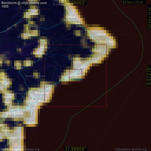
» NASA, Earths city lights 1995
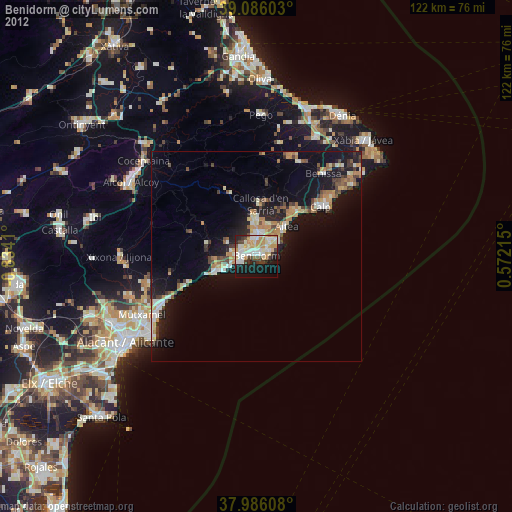
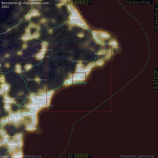
» NASA city lights 2003
» Earth at Night: Flat Maps 2012, 2016