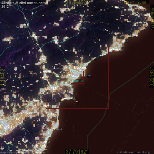
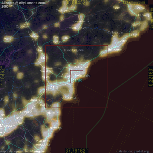
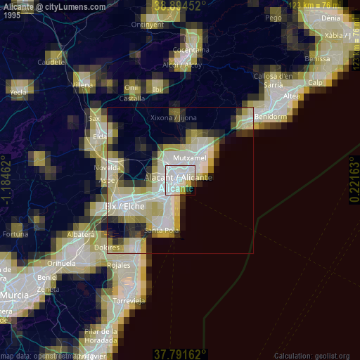
Alicante night lights from space
Night Light of Alicante (Valencia) from space (Spain) Src. Average luminocity for 10x10km area is 66.3129% and for 50x50km: 19.006%.
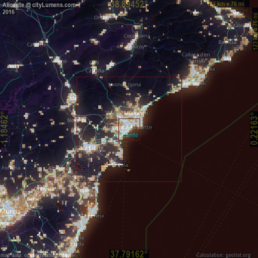
Analysis of Alicante night lights 2016
Square area 10x10 km:
 23.81%
90-99
18.88%80-89
5.78%70-79
4.76%60-69
6.8%50-59
5.61%40-49
2.55%30-39
7.48%20-29
12.76%10-19
8.84%0-9
2.72%Square area 50x50 km:
2.82%90-99
3.18%80-89
2.27%70-79
2.08%60-69
2.21%50-59
2.28%40-49
2.07%30-39
3.3%20-29
8.1%10-19
14.88%0-9
56.81%Clear (daylight) street map image can be seen on geolist.org.
Map coordinates:
38° 53' 40.3" North, 1° 11' 4.6" West
38° 20' 42.6" North, 0° 28' 53.4" West
37° 47' 29.8" North, 0° 13' 17.9" East
Some cities around Alicante sort by population:
• Elche
21.3 km =13.2 mi,  244°
244°
• San Vicent del Raspeig
6.9 km =4.3 mi,  326°
326°
• Santa Pola
18.6 km =11.6 mi,  203°
203°
• El Campello
11.8 km =7.3 mi,  38°
38°
• Mutxamel
8.5 km =5.3 mi,  21°
21°
• San Juan de Alicante
7.4 km =4.6 mi,  32°
32°
• Jijona
21.8 km =13.5 mi,  355°
355°
• Monforte del Cid
21.9 km =13.6 mi,  280°
280°
2521978 (p: 334,757)
Sources (retrieved 2019-11-25):
» NASA, Earths city lights 1995
» NASA city lights 2003
» Earth at Night: Flat Maps 2012, 2016